Last Updated:
2026-Q3
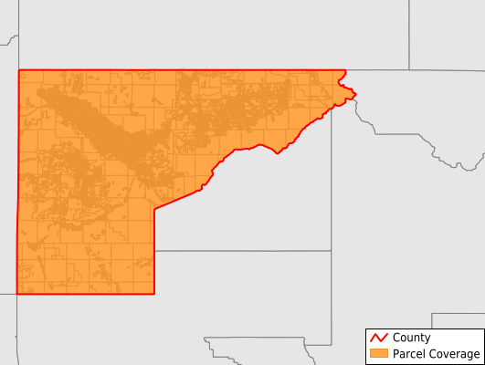
Parcels in County:
79,275
Parcel data available to download as a GDB, GeoPackage, Shapefile, Excel, CSV, or Google Earth KML file.
All purchased data comes with six months of access, including any updates, at no additional cost.
Key attribute coverage for Mesa County
The percentage of Mesa County parcels containing the following key attributes:
Owner: 98.8%
Parcel Number: 98.8%
Acreage (Calculated): 100%
Site Address: 91.5%
Mailing Address: 97.9%
All available attributes in Mesa County
Parcel Number
Site Address
Owner
Sale Price
Neighborhood Code
Land Use Code
Land Use Class
Zoning
Acreage (deeded)
Acreage (calculated)
Perimeter
Municipality
School District
Zip Code
Flood Zone
Flood Zone Subtype
Census Tract
Census Block Group
Census Block
Mail Address1
Mail Address3
Legal Desc1
Buildings
Addr Sec Unit Num
Place Gnis Code
Land Cover
Elevation
Owner Occupied
Robust Id
Usps Residential
Alt Id 1
Plss Description
Plss Township
Plss Range
Plss Section
Crop Cover
Acreage Adjacent With Sameowner
Flood Zones
Nearest Transmission Line Dist Ft
Nearest Substation Dist Ft
Derived Geom Properties
Robust Id Source
Geom Id
Municipalities Respresented in Mesa County
Clifton CCD: 12,639
Collbran CCD: 3,339
De Beque CCD: 1,010
Fruita CCD: 13,939
Glade Park-Gateway CCD: 2,417
Grand Junction CCD: 43,990
Whitewater-Kannah Creek CCD: 1,941
Save money when you buy data in bulk
We offer discounted pricing on county and state downloads.