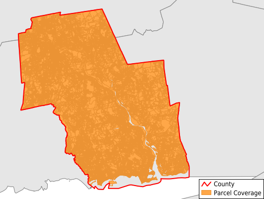
Lower Connecticut River Valley County
Parcel Data
Price: $300.00
Last Updated:
2026-Q1
Parcels in County:
86,391
Parcel data available to download as a GDB, GeoPackage, Shapefile, Excel, CSV, or Google Earth KML file.
All purchased data comes with six months of access, including any updates, at no additional cost.
Key attribute coverage for Lower Connecticut River Valley County
The percentage of Lower Connecticut River Valley County parcels containing the following key attributes:
Owner: 96.3%
Parcel Number: 92.7%
Acreage (Calculated): 100%
Site Address: 86.5%
Mailing Address: 97.6%
All available attributes in Lower Connecticut River Valley County
Parcel Number
Site Address
Owner
Transfer Date
Sale Price
Building Size
Land Use Code
Land Use Class
Zoning
Acreage (deeded)
Acreage (calculated)
Perimeter
Municipality
School District
Zip Code
Flood Zone
Flood Zone Subtype
Total Market Value
Land Market Value
Building Market Value
Coowner
Mail Address1
Mail Address2
Mail Address3
Year Built
Style
Total Rooms
Bedrooms
Halfbath
Total Bath
Buildings
Condition
Addr Sec Unit Num
Place Gnis Code
Land Cover
Elevation
Owner Occupied
Robust Id
Alt Id 1
Crop Cover
Acreage Adjacent With Sameowner
Flood Zones
Nearest Transmission Line Dist Ft
Nearest Substation Dist Ft
Derived Geom Properties
Robust Id Source
Municipalities Respresented in Lower Connecticut River Valley County
Chester town: 3,648
Clinton town: 6,697
Cromwell town: 6,137
Deep River town: 2,214
Durham town: 3,169
East Hampton town: 6,191
Essex town: 3,432
Haddam town: 4,395
Killingworth town: 2,851
Lyme town: 1,704
Middlefield town: 2,319
Middletown town: 15,783
Old Lyme town: 5,589
Old Saybrook town: 7,063
Portland town: 4,740
Westbrook town: 4,557
East Haddam town: 5,901
Save money when you buy data in bulk
We offer discounted pricing on county and state downloads.