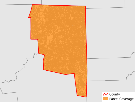
Northeastern Connecticut County
Parcel Data
Price: $300.00
Last Updated:
2025-Q4
Parcels in County:
47,835
Parcel data available to download as a GDB, GeoPackage, Shapefile, Excel, CSV, or Google Earth KML file.
All purchased data comes with six months of access, including any updates, at no additional cost.
Key attribute coverage for Northeastern Connecticut County
The percentage of Northeastern Connecticut County parcels containing the following key attributes:
Owner: 95.3%
Parcel Number: 98.7%
Acreage (Calculated): 100%
Site Address: 95.3%
Mailing Address: 95.2%
All available attributes in Northeastern Connecticut County
Parcel Number
Site Address
Owner
Transfer Date
Sale Price
Building Size
Land Use Code
Land Use Class
Zoning
Acreage (deeded)
Acreage (calculated)
Perimeter
Municipality
School District
Zip Code
Flood Zone
Flood Zone Subtype
Total Market Value
Land Market Value
Building Market Value
Coowner
Mail Address1
Mail Address3
Year Built
Total Rooms
Bedrooms
Halfbath
Total Bath
Condition
Addr Sec Unit Num
Place Gnis Code
Land Cover
Elevation
Owner Occupied
Robust Id
Alt Id 1
Crop Cover
Acreage Adjacent With Sameowner
Flood Zones
Nearest Transmission Line Dist Ft
Nearest Substation Dist Ft
Derived Geom Properties
Municipalities Respresented in Northeastern Connecticut County
Ashford town: 2,369
Brooklyn town: 3,704
Canterbury town: 2,691
Chaplin town: 1,236
Eastford town: 1,276
Hampton town: 1,233
Killingly town: 7,382
Plainfield town: 6,633
Pomfret town: 2,269
Putnam town: 3,590
Scotland town: 901
Sterling town: 1,819
Thompson town: 5,591
Union town: 781
Voluntown town: 1,513
Woodstock town: 4,846
Save money when you buy data in bulk
We offer discounted pricing on county and state downloads.