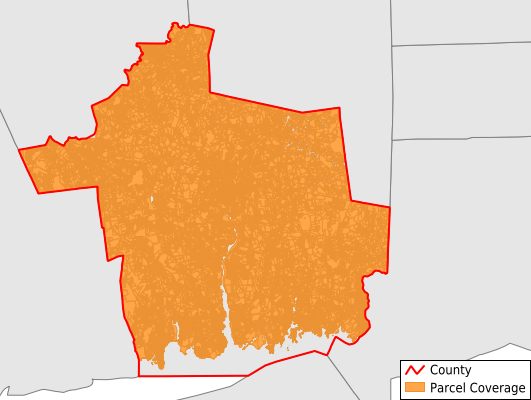
Southeastern Connecticut County
Parcel Data
Price: $300.00
Last Updated:
2026-Q2
Parcels in County:
113,464
Parcel data available to download as a GDB, GeoPackage, Shapefile, Excel, CSV, or Google Earth KML file.
All purchased data comes with six months of access, including any updates, at no additional cost.
Key attribute coverage for Southeastern Connecticut County
The percentage of Southeastern Connecticut County parcels containing the following key attributes:
Owner: 95.7%
Parcel Number: 99.3%
Acreage (Calculated): 100%
Site Address: 84.8%
Mailing Address: 95.3%
All available attributes in Southeastern Connecticut County
Parcel Number
Site Address
Owner
Transfer Date
Sale Price
Building Size
Land Use Code
Land Use Class
Zoning
Acreage (deeded)
Acreage (calculated)
Perimeter
Municipality
School District
Zip Code
Flood Zone
Flood Zone Subtype
Total Market Value
Land Market Value
Building Market Value
Coowner
Mail Address1
Year Built
Total Rooms
Bedrooms
Halfbath
Total Bath
Buildings
Condition
Addr Sec Unit Num
Place Gnis Code
Land Cover
Elevation
Owner Occupied
Robust Id
Alt Id 1
Alt Id 2
Crop Cover
Acreage Adjacent With Sameowner
Flood Zones
Nearest Transmission Line Dist Ft
Nearest Substation Dist Ft
Derived Geom Properties
Robust Id Source
Municipalities Respresented in Southeastern Connecticut County
Bozrah town: 1,402
Colchester town: 6,734
East Lyme town: 9,554
Franklin town: 2,199
Griswold town: 4,711
Groton town: 13,078
Lebanon town: 3,974
Ledyard town: 6,309
Lisbon town: 1,934
Montville town: 7,315
New London town: 7,310
North Stonington town: 3,120
Norwich town: 14,130
Preston town: 2,485
Salem town: 1,949
Sprague town: 1,307
Stonington town: 10,176
Waterford town: 9,349
Windham town: 6,428
Save money when you buy data in bulk
We offer discounted pricing on county and state downloads.