Last Updated:
2025-Q3
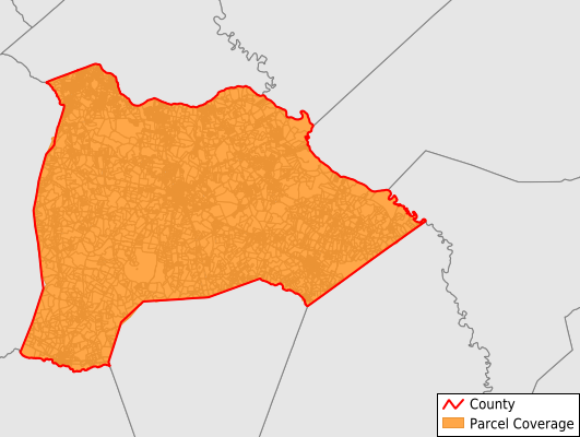
Parcels in County:
17,329
Parcel data available to download as a GDB, GeoPackage, Shapefile, Excel, CSV, or Google Earth KML file.
All purchased data comes with six months of access, including any updates, at no additional cost.
Key attribute coverage for Burke County
The percentage of Burke County parcels containing the following key attributes:
Owner: 99.6%
Parcel Number: 100%
Acreage (Calculated): 100%
Site Address: 100%
Mailing Address: 99.1%
All available attributes in Burke County
Parcel Number
Site Address
Owner
Transfer Date
Neighborhood Code
Zoning
Acreage (deeded)
Acreage (calculated)
Perimeter
Municipality
School District
Zip Code
Flood Zone
Flood Zone Subtype
Census Tract
Census Block Group
Census Block
Total Market Value
Mail Address1
Mail Address2
Mail Address3
Legal Desc1
Water
Sewer
Addr Sec Unit Num
Place Gnis Code
Land Cover
Elevation
Owner Occupied
Robust Id
Usps Residential
Crop Cover
Acreage Adjacent With Sameowner
Flood Zones
Nearest Transmission Line Dist Ft
Nearest Substation Dist Ft
Derived Geom Properties
Robust Id Source
Municipalities Respresented in Burke County
Girard CCD: 1,151
Greens Cut CCD: 3,906
Keysville CCD: 2,567
Midville CCD: 1,332
Sardis CCD: 1,665
Vidette CCD: 1,034
Waynesboro CCD: 5,672
Save money when you buy data in bulk
We offer discounted pricing on county and state downloads.