Last Updated:
2026-Q2
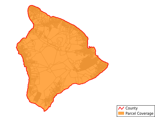
Parcels in County:
135,718
Parcel data available to download as a GDB, GeoPackage, Shapefile, Excel, CSV, or Google Earth KML file.
All purchased data comes with six months of access, including any updates, at no additional cost.
Key attribute coverage for Hawaii County
The percentage of Hawaii County parcels containing the following key attributes:
Owner: 98.5%
Parcel Number: 99%
Acreage (Calculated): 100%
Site Address: 78.3%
Mailing Address: 100%
All available attributes in Hawaii County
Parcel Number
Site Address
Owner
Neighborhood Code
Land Use Code
Land Use Class
Zoning
Acreage (deeded)
Acreage (calculated)
Perimeter
Municipality
Zip Code
Flood Zone
Flood Zone Subtype
Census Tract
Census Block Group
Census Block
Mail Name
Mail Address1
Mail Address2
Mail Address3
Legal Desc1
Legal Desc2
Legal Desc3
Addr Sec Unit Num
Place Gnis Code
Elevation
Owner Occupied
Robust Id
Usps Residential
Acreage Adjacent With Sameowner
Flood Zones
Nearest Transmission Line Dist Ft
Nearest Substation Dist Ft
Derived Geom Properties
Robust Id Source
Municipalities Respresented in Hawaii County
Hilo CCD: 18,372
Honokaa-Kukuihaele CCD: 2,564
Kau CCD: 16,522
Keaau-Mountain View CCD: 39,027
North Hilo CCD: 1,691
North Kohala CCD: 3,875
North Kona CCD: 15,398
Paauhau-Paauilo CCD: 1,662
Pahoa-Kalapana CCD: 18,740
Papaikou-Wailea CCD: 3,072
South Kohala CCD: 8,216
South Kona CCD: 6,579
Save money when you buy data in bulk
We offer discounted pricing on county and state downloads.