Last Updated:
2026-Q1
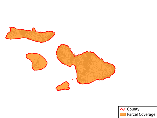
Parcels in County:
81,528
Parcel data available to download as a GDB, GeoPackage, Shapefile, Excel, CSV, or Google Earth KML file.
All purchased data comes with six months of access, including any updates, at no additional cost.
Key attribute coverage for Maui County
The percentage of Maui County parcels containing the following key attributes:
Owner: 100%
Parcel Number: 100%
Acreage (Calculated): 100%
Site Address: 71%
Mailing Address: 94.5%
All available attributes in Maui County
Parcel Number
Site Address
Owner
Neighborhood Code
Land Use Code
Land Use Class
Zoning
Acreage (deeded)
Acreage (calculated)
Perimeter
Municipality
Zip Code
Flood Zone
Flood Zone Subtype
Census Tract
Census Block Group
Census Block
Mail Address1
Mail Address3
Legal Desc1
Legal Desc2
Legal Desc3
Buildings
Addr Sec Unit Num
Place Gnis Code
Elevation
Owner Occupied
Robust Id
Usps Residential
Alt Id 1
Acreage Adjacent With Sameowner
Flood Zones
Nearest Transmission Line Dist Ft
Nearest Substation Dist Ft
Derived Geom Properties
Robust Id Source
Municipalities Respresented in Maui County
East Molokai CCD: 4,051
Haiku-Pauwela CCD: 4,554
Hana CCD: 2,095
Kahului CCD: 5,958
Kihei CCD: 14,438
Kula CCD: 8,559
Lahaina CCD: 18,573
Lanai CCD: 1,541
Makawao-Paia CCD: 7,116
Puunene CCD: 158
Spreckelsville CCD: 705
Waihee-Waikapu CCD: 3,148
Wailuku CCD: 8,566
West Molokai CCD: 2,066
Save money when you buy data in bulk
We offer discounted pricing on county and state downloads.