Last Updated:
2025-Q4
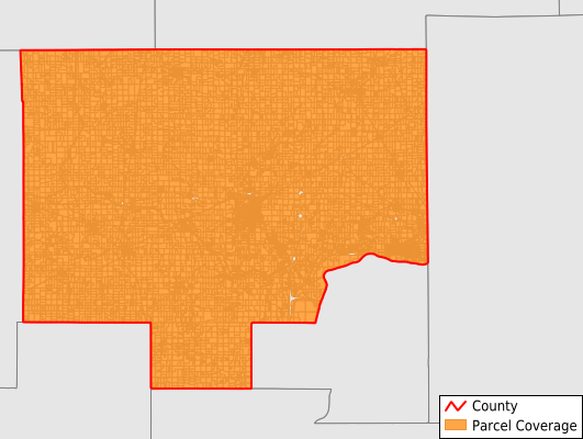
Parcels in County:
27,884
Parcel data available to download as a GDB, GeoPackage, Shapefile, Excel, CSV, or Google Earth KML file.
All purchased data comes with six months of access, including any updates, at no additional cost.
Key attribute coverage for Bureau County
The percentage of Bureau County parcels containing the following key attributes:
Owner: 99%
Parcel Number: 100%
Acreage (Calculated): 99.9%
Site Address: 57.5%
Mailing Address: 99%
All available attributes in Bureau County
Parcel Number
Site Address
Owner
Transfer Date
Sale Price
Land Use Code
Land Use Class
Acreage (deeded)
Acreage (calculated)
Perimeter
Municipality
School District
Zip Code
Flood Zone
Flood Zone Subtype
Census Tract
Census Block Group
Census Block
Land Market Value
Building Market Value
Mail Address1
Legal Desc1
Buildings
Addr Sec Unit Num
Place Gnis Code
Land Cover
Elevation
Owner Occupied
Robust Id
Usps Residential
Alt Id 1
Plss Description
Plss Township
Plss Range
Plss Section
Crop Cover
Acreage Adjacent With Sameowner
Flood Zones
Nearest Transmission Line Dist Ft
Nearest Substation Dist Ft
Derived Geom Properties
Municipalities Respresented in Bureau County
Arispie Township: 958
Berlin Township: 743
Bureau Township: 457
Clarion Township: 552
Concord Township: 1,397
Dover Township: 697
Fairfield Township: 475
Gold Township: 369
Greenville Township: 591
Hall Township: 4,990
Indiantown Township: 777
La Moille Township: 957
Leepertown Township: 431
Macon Township: 432
Manlius Township: 723
Milo Township: 449
Mineral Township: 748
Neponset Township: 778
Ohio Township: 850
Princeton Township: 5,094
Selby Township: 1,622
Walnut Township: 1,303
Westfield Township: 962
Wheatland Township: 396
Wyanet Township: 1,095
Save money when you buy data in bulk
We offer discounted pricing on county and state downloads.