Last Updated:
2026-Q2
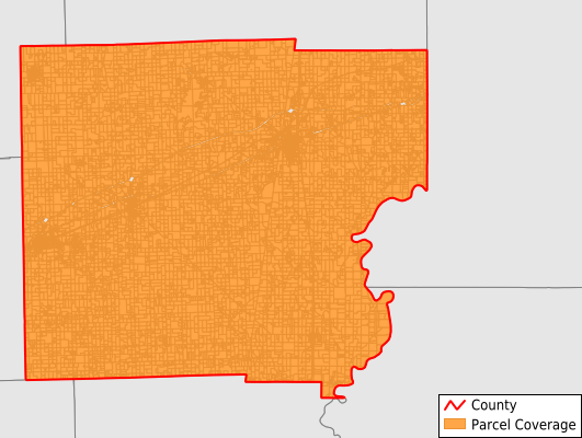
Parcels in County:
14,721
Parcel data available to download as a GDB, GeoPackage, Shapefile, Excel, CSV, or Google Earth KML file.
All purchased data comes with six months of access, including any updates, at no additional cost.
Key attribute coverage for Clark County
The percentage of Clark County parcels containing the following key attributes:
Owner: 99%
Parcel Number: 100%
Acreage (Calculated): 100%
Site Address: 47.1%
Mailing Address: 87.2%
All available attributes in Clark County
Parcel Number
Site Address
Owner
Land Use Code
Land Use Class
Acreage (deeded)
Acreage (calculated)
Perimeter
Municipality
School District
Zip Code
Flood Zone
Flood Zone Subtype
Census Tract
Census Block Group
Census Block
Mail Address1
Mail Address2
Mail Address3
Legal Desc1
Place Gnis Code
Land Cover
Elevation
Owner Occupied
Robust Id
Usps Residential
Alt Id 1
Alt Id 2
Plss Description
Plss Township
Plss Range
Plss Section
Crop Cover
Acreage Adjacent With Sameowner
Flood Zones
Nearest Transmission Line Dist Ft
Nearest Substation Dist Ft
Derived Geom Properties
Robust Id Source
Municipalities Respresented in Clark County
Anderson Township: 552
Auburn Township: 363
Casey Township: 2,695
Darwin Township: 498
Dolson Township: 761
Douglas Township: 220
Johnson Township: 690
Marshall Township: 2,723
Martinsville Township: 1,410
Melrose Township: 562
Orange Township: 572
Parker Township: 539
Wabash Township: 1,845
Westfield Township: 593
York Township: 698
Save money when you buy data in bulk
We offer discounted pricing on county and state downloads.