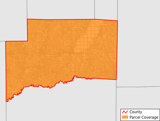
Clinton County
Parcel Data
Price: $300.00
Last Updated:
2025-Q3
Parcels in County:
27,811
Parcel data available to download as a GDB, GeoPackage, Shapefile, Excel, CSV, or Google Earth KML file.
All purchased data comes with six months of access, including any updates, at no additional cost.
Key attribute coverage for Clinton County
The percentage of Clinton County parcels containing the following key attributes:
Owner: 90.1%
Parcel Number: 90.1%
Acreage (Calculated): 100%
Site Address: 90.1%
Mailing Address: 90.1%
All available attributes in Clinton County
Parcel Number
Site Address
Owner
Transfer Date
Land Use Code
Land Use Class
Acreage (deeded)
Acreage (calculated)
Perimeter
Municipality
School District
Zip Code
Flood Zone
Flood Zone Subtype
Census Tract
Census Block Group
Census Block
Mail Address1
Mail Address3
Legal Desc1
Buildings
Addr Sec Unit Num
Place Gnis Code
Land Cover
Elevation
Owner Occupied
Robust Id
Usps Residential
Plss Description
Plss Township
Plss Range
Plss Section
Crop Cover
Acreage Adjacent With Sameowner
Flood Zones
Nearest Transmission Line Dist Ft
Nearest Substation Dist Ft
Derived Geom Properties
Municipalities Respresented in Clinton County
Santa Fe Township: 1,517
Meridian Township: 734
Breese Township: 3,316
Brookside Township: 2,048
Carlyle Township: 2,453
Clement Township: 551
East Fork Township: 966
Germantown Township: 1,930
Irishtown Township: 1,758
Lake Township: 1,044
Looking Glass Township: 3,703
St. Rose Township: 1,454
Sugar Creek Township: 3,900
Wade Township: 1,675
Wheatfield Township: 762
Save money when you buy data in bulk
We offer discounted pricing on county and state downloads.