Last Updated:
2026-Q3
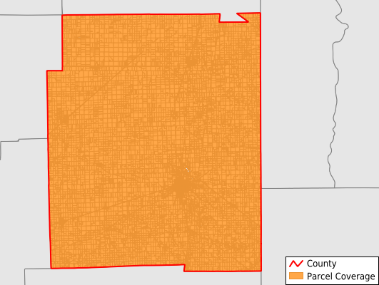
Parcels in County:
18,085
Parcel data available to download as a GDB, GeoPackage, Shapefile, Excel, CSV, or Google Earth KML file.
All purchased data comes with six months of access, including any updates, at no additional cost.
Key attribute coverage for Edgar County
The percentage of Edgar County parcels containing the following key attributes:
Owner: 98.6%
Parcel Number: 100%
Acreage (Calculated): 100%
Site Address: 97.9%
Mailing Address: 98.6%
All available attributes in Edgar County
Parcel Number
Site Address
Owner
Transfer Date
Sale Price
Land Use Code
Land Use Class
Acreage (deeded)
Acreage (calculated)
Perimeter
Municipality
School District
Zip Code
Census Tract
Census Block Group
Census Block
Total Market Value
Map Book
Coowner
Mail Address1
Mail Address3
Legal Desc1
Addr Sec Unit Num
Place Gnis Code
Land Cover
Elevation
Owner Occupied
Robust Id
Usps Residential
Alt Id 1
Plss Description
Plss Township
Plss Range
Plss Section
Crop Cover
Acreage Adjacent With Sameowner
Flood Zones
Nearest Transmission Line Dist Ft
Nearest Substation Dist Ft
Derived Geom Properties
Robust Id Source
Geom Id
Duplicate Geom Seq
Duplicate Geom Ct
Municipalities Respresented in Edgar County
Grandview Township: 975
Brouilletts Creek Township: 555
Buck Township: 603
Edgar Township: 993
Elbridge Township: 1,019
Embarrass Township: 1,048
Hunter Township: 564
Kansas Township: 1,085
Paris Township: 5,666
Prairie Township: 679
Ross Township: 1,258
Shiloh Township: 718
Stratton Township: 592
Symmes Township: 1,237
Young America Township: 1,093
Save money when you buy data in bulk
We offer discounted pricing on county and state downloads.