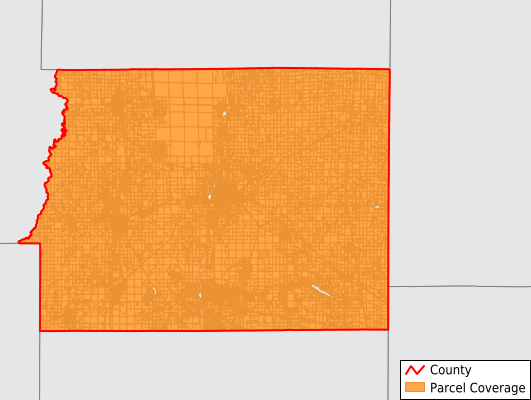
Franklin County
Parcel Data
Price: $250.00
Last Updated:
2026-Q3
Parcels in County:
31,503
Parcel data available to download as a GDB, GeoPackage, Shapefile, Excel, CSV, or Google Earth KML file.
All purchased data comes with six months of access, including any updates, at no additional cost.
Key attribute coverage for Franklin County
The percentage of Franklin County parcels containing the following key attributes:
Owner: 96.9%
Parcel Number: 7.6%
Acreage (Calculated): 100%
Site Address: 4.3%
Mailing Address: 95%
All available attributes in Franklin County
Parcel Number
Site Address
Owner
Land Use Code
Land Use Class
Acreage (deeded)
Acreage (calculated)
Perimeter
Municipality
School District
Zip Code
Flood Zone
Flood Zone Subtype
Census Tract
Census Block Group
Census Block
Mail Name
Mail Address1
Legal Desc1
Buildings
Addr Sec Unit Num
Place Gnis Code
Land Cover
Elevation
Owner Occupied
Robust Id
Usps Residential
Alt Id 1
Plss Description
Plss Township
Plss Range
Plss Section
Crop Cover
Acreage Adjacent With Sameowner
Flood Zones
Nearest Transmission Line Dist Ft
Nearest Substation Dist Ft
Derived Geom Properties
Robust Id Source
Geom Id
Duplicate Geom Seq
Duplicate Geom Ct
Municipalities Respresented in Franklin County
Barren Township: 580
Benton Township: 6,261
Browning Township: 2,329
Cave Township: 1,673
Denning Township: 4,087
Eastern Township: 964
Ewing Township: 1,518
Frankfort Township: 4,429
Goode Township: 2,000
Northern Township: 807
Six Mile Township: 2,926
Tyrone Township: 3,924
Save money when you buy data in bulk
We offer discounted pricing on county and state downloads.