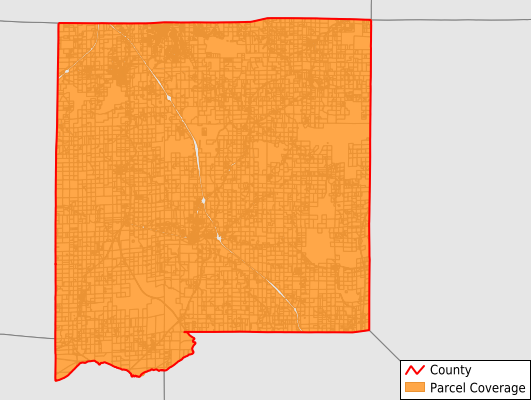
Johnson County
Parcel Data
Price: $300.00
Last Updated:
2025-Q3
Parcels in County:
12,620
Parcel data available to download as a GDB, GeoPackage, Shapefile, Excel, CSV, or Google Earth KML file.
All purchased data comes with six months of access, including any updates, at no additional cost.
Key attribute coverage for Johnson County
The percentage of Johnson County parcels containing the following key attributes:
Owner: 96.9%
Parcel Number: 100%
Acreage (Calculated): 100%
Site Address: 73.3%
Mailing Address: 95.7%
All available attributes in Johnson County
Parcel Number
Site Address
Owner
Transfer Date
Sale Price
Building Size
Land Use Code
Land Use Class
Acreage (calculated)
Perimeter
Municipality
School District
Zip Code
Census Tract
Census Block Group
Census Block
Total Market Value
Land Market Value
Building Market Value
Coowner
Mail Address1
Mail Address3
Legal Desc1
Year Built
Buildings
Addr Sec Unit Num
Place Gnis Code
Land Cover
Elevation
Owner Occupied
Robust Id
Usps Residential
Plss Description
Plss Township
Plss Range
Plss Section
Crop Cover
Acreage Adjacent With Sameowner
Nearest Transmission Line Dist Ft
Nearest Substation Dist Ft
Derived Geom Properties
Municipalities Respresented in Johnson County
Belknap Precinct: 414
Bloomfield Precinct: 997
Burnside Precinct: 641
Cache Precinct: 665
Elvira Precinct: 935
Goreville No. 1 Precinct: 1,061
Goreville No. 2 Precinct: 508
Grantsburg No. 1 Precinct: 434
Grantsburg No. 2 Precinct: 423
Lake No. 1 Precinct: 1,904
Lake No. 2 Precinct: 591
Ozark Precinct: 535
Simpson Precinct: 735
Tunnel Hill Precinct: 1,258
Vienna No. 1 Precinct: 348
Vienna No. 2 Precinct: 772
Vienna No. 3 Precinct: 399
Save money when you buy data in bulk
We offer discounted pricing on county and state downloads.