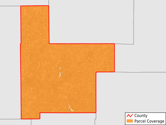
Montgomery County
Parcel Data
Price: $250.00
Last Updated:
2026-Q1
Parcels in County:
25,747
Parcel data available to download as a GDB, GeoPackage, Shapefile, Excel, CSV, or Google Earth KML file.
All purchased data comes with six months of access, including any updates, at no additional cost.
Key attribute coverage for Montgomery County
The percentage of Montgomery County parcels containing the following key attributes:
Owner: 99.6%
Parcel Number: 100%
Acreage (Calculated): 100%
Site Address: 98.6%
Mailing Address: 99.6%
All available attributes in Montgomery County
Parcel Number
Site Address
Owner
Land Use Code
Land Use Class
Acreage (deeded)
Acreage (calculated)
Perimeter
Municipality
School District
Zip Code
Census Tract
Census Block Group
Census Block
Mail Name
Mail Address1
Mail Address2
Mail Address3
Legal Desc1
Buildings
Addr Sec Unit Num
Place Gnis Code
Land Cover
Elevation
Owner Occupied
Robust Id
Usps Residential
Alt Id 1
Plss Description
Plss Township
Plss Range
Plss Section
Crop Cover
Acreage Adjacent With Sameowner
Nearest Transmission Line Dist Ft
Nearest Substation Dist Ft
Derived Geom Properties
Robust Id Source
Municipalities Respresented in Montgomery County
Bois D'Arc Township: 1,163
Audubon Township: 897
Butler Grove Township: 929
East Fork Township: 2,265
Grisham Township: 782
Harvel Township: 380
Hillsboro Township: 3,668
Irving Township: 1,232
Nokomis Township: 2,296
North Litchfield Township: 3,502
Pitman Township: 773
Raymond Township: 1,098
Rountree Township: 484
South Litchfield Township: 2,297
Walshville Township: 688
Witt Township: 1,212
Zanesville Township: 700
Fillmore Consolidated Township: 1,381
Save money when you buy data in bulk
We offer discounted pricing on county and state downloads.