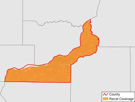
Rock Island County
Parcel Data
Price: $250.00
Last Updated:
2026-Q3
Parcels in County:
65,954
Parcel data available to download as a GDB, GeoPackage, Shapefile, Excel, CSV, or Google Earth KML file.
All purchased data comes with six months of access, including any updates, at no additional cost.
Key attribute coverage for Rock Island County
The percentage of Rock Island County parcels containing the following key attributes:
Owner: 99.8%
Parcel Number: 100%
Acreage (Calculated): 100%
Site Address: 88.9%
Mailing Address: 99.8%
All available attributes in Rock Island County
Parcel Number
Site Address
Owner
Transfer Date
Sale Price
Building Size
Land Use Code
Land Use Class
Zoning
Acreage (deeded)
Acreage (calculated)
Perimeter
Municipality
School District
Zip Code
Flood Zone
Flood Zone Subtype
Census Tract
Census Block Group
Census Block
Land Market Value
Building Market Value
Mail Address1
Mail Address3
Legal Desc1
Year Built
Addr Sec Unit Num
Place Gnis Code
Land Cover
Elevation
Owner Occupied
Robust Id
Usps Residential
Alt Id 1
Plss Description
Plss Township
Plss Range
Plss Section
Crop Cover
Acreage Adjacent With Sameowner
Flood Zones
Nearest Transmission Line Dist Ft
Nearest Substation Dist Ft
Derived Geom Properties
Robust Id Source
Geom Id
Duplicate Geom Seq
Duplicate Geom Ct
Municipalities Respresented in Rock Island County
Andalusia Township: 1,350
Blackhawk Township: 4,876
Bowling Township: 1,839
Buffalo Prairie Township: 891
Canoe Creek Township: 633
Coal Valley Township: 2,226
Coe Township: 1,118
Cordova Township: 788
Drury Township: 893
Edgington Township: 1,019
Hampton Township: 9,512
Moline Township: 9,395
Port Byron Township: 786
Rock Island Township: 6,328
Rural Township: 808
South Moline Township: 14,483
South Rock Island Township: 8,300
Zuma Township: 707
Save money when you buy data in bulk
We offer discounted pricing on county and state downloads.