Last Updated:
2026-Q3
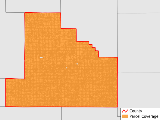
Parcels in County:
21,355
Parcel data available to download as a GDB, GeoPackage, Shapefile, Excel, CSV, or Google Earth KML file.
All purchased data comes with six months of access, including any updates, at no additional cost.
Key attribute coverage for Shelby County
The percentage of Shelby County parcels containing the following key attributes:
Owner: 99%
Parcel Number: 99%
Acreage (Calculated): 100%
Site Address: 50.3%
Mailing Address: 99%
All available attributes in Shelby County
Parcel Number
Site Address
Owner
Land Use Code
Land Use Class
Acreage (deeded)
Acreage (calculated)
Perimeter
Municipality
School District
Zip Code
Census Tract
Census Block Group
Census Block
Mail Address1
Legal Desc1
Addr Sec Unit Num
Place Gnis Code
Land Cover
Elevation
Owner Occupied
Robust Id
Usps Residential
Plss Description
Plss Township
Plss Range
Plss Section
Crop Cover
Acreage Adjacent With Sameowner
Nearest Transmission Line Dist Ft
Nearest Substation Dist Ft
Derived Geom Properties
Robust Id Source
Geom Id
Duplicate Geom Seq
Duplicate Geom Ct
Municipalities Respresented in Shelby County
Moweaqua Township: 1,212
Ash Grove Township: 856
Big Spring Township: 836
Clarksburg Township: 515
Cold Spring Township: 539
Dry Point Township: 949
Flat Branch Township: 520
Herrick Township: 626
Holland Township: 602
Lakewood Township: 616
Oconee Township: 1,120
Okaw Township: 1,121
Penn Township: 193
Pickaway Township: 357
Prairie Township: 1,369
Richland Township: 825
Ridge Township: 651
Rose Township: 1,340
Rural Township: 490
Shelbyville Township: 3,023
Sigel Township: 755
Todds Point Township: 439
Tower Hill Township: 1,229
Windsor Township: 1,172
Save money when you buy data in bulk
We offer discounted pricing on county and state downloads.