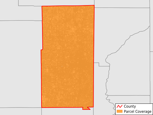
Vermilion County
Parcel Data
Price: $250.00
Last Updated:
2026-Q3
Parcels in County:
55,173
Parcel data available to download as a GDB, GeoPackage, Shapefile, Excel, CSV, or Google Earth KML file.
All purchased data comes with six months of access, including any updates, at no additional cost.
Key attribute coverage for Vermilion County
The percentage of Vermilion County parcels containing the following key attributes:
Owner: 98.2%
Parcel Number: 98.3%
Acreage (Calculated): 100%
Site Address: 60.5%
Mailing Address: 98.2%
All available attributes in Vermilion County
Parcel Number
Site Address
Owner
Land Use Code
Land Use Class
Acreage (calculated)
Perimeter
Municipality
School District
Zip Code
Flood Zone
Flood Zone Subtype
Census Tract
Census Block Group
Census Block
Mail Name
Mail Address1
Mail Address3
Legal Desc1
Addr Sec Unit Num
Place Gnis Code
Land Cover
Elevation
Owner Occupied
Robust Id
Usps Residential
Plss Description
Plss Township
Plss Range
Plss Section
Crop Cover
Acreage Adjacent With Sameowner
Flood Zones
Nearest Transmission Line Dist Ft
Nearest Substation Dist Ft
Derived Geom Properties
Robust Id Source
Geom Id
Duplicate Geom Seq
Duplicate Geom Ct
Municipalities Respresented in Vermilion County
Blount Township: 2,748
Butler Township: 1,446
Carroll Township: 959
Catlin Township: 2,433
Danville Township: 17,754
Elwood Township: 1,396
Georgetown Township: 4,745
Grant Township: 4,107
Jamaica Township: 519
Love Township: 497
Mckendree Township: 994
Middlefork Township: 1,625
Newell Township: 7,162
Oakwood Township: 2,700
Pilot Township: 1,247
Ross Township: 1,341
Sidell Township: 1,016
South Ross Township: 1,277
Vance Township: 1,201
Save money when you buy data in bulk
We offer discounted pricing on county and state downloads.