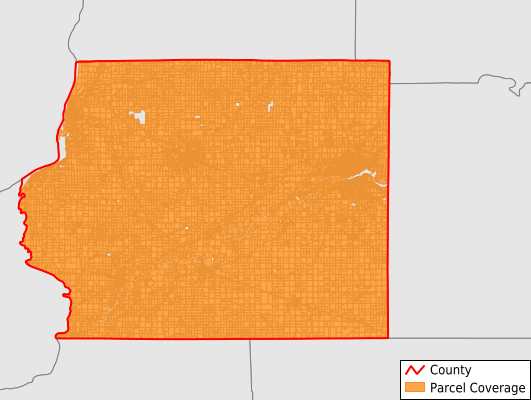
Whiteside County
Parcel Data
Price: $250.00
Last Updated:
2025-Q3
Parcels in County:
36,635
Parcel data available to download as a GDB, GeoPackage, Shapefile, Excel, CSV, or Google Earth KML file.
All purchased data comes with six months of access, including any updates, at no additional cost.
Key attribute coverage for Whiteside County
The percentage of Whiteside County parcels containing the following key attributes:
Owner: 99.4%
Parcel Number: 100%
Acreage (Calculated): 100%
Site Address: 66.6%
Mailing Address: 99.4%
All available attributes in Whiteside County
Parcel Number
Site Address
Owner
Acreage (calculated)
Perimeter
Municipality
School District
Zip Code
Flood Zone
Flood Zone Subtype
Census Tract
Census Block Group
Census Block
Mail Address1
Mail Address3
Legal Desc1
Addr Sec Unit Num
Place Gnis Code
Land Cover
Elevation
Owner Occupied
Robust Id
Usps Residential
Plss Description
Plss Township
Plss Range
Plss Section
Crop Cover
Acreage Adjacent With Sameowner
Flood Zones
Nearest Transmission Line Dist Ft
Nearest Substation Dist Ft
Derived Geom Properties
Robust Id Source
Municipalities Respresented in Whiteside County
Albany Township: 749
Clyde Township: 695
Coloma Township: 5,189
Erie Township: 1,416
Fenton Township: 847
Fulton Township: 2,797
Garden Plain Township: 1,116
Genesee Township: 818
Hahnaman Township: 525
Hopkins Township: 1,627
Hume Township: 495
Jordan Township: 784
Lyndon Township: 918
Montmorency Township: 1,610
Mount Pleasant Township: 2,935
Newton Township: 609
Portland Township: 723
Prophetstown Township: 1,941
Sterling Township: 8,110
Tampico Township: 876
Union Grove Township: 1,123
Ustick Township: 732
Save money when you buy data in bulk
We offer discounted pricing on county and state downloads.