Last Updated:
2025-Q3
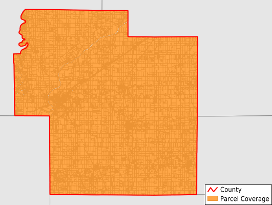
Parcels in County:
21,468
Parcel data available to download as a GDB, GeoPackage, Shapefile, Excel, CSV, or Google Earth KML file.
All purchased data comes with six months of access, including any updates, at no additional cost.
Key attribute coverage for Carroll County
The percentage of Carroll County parcels containing the following key attributes:
Owner: 99.2%
Parcel Number: 100%
Acreage (Calculated): 100%
Site Address: 98.8%
Mailing Address: 99.2%
All available attributes in Carroll County
Parcel Number
Site Address
Owner
Transfer Date
Neighborhood Code
Land Use Code
Land Use Class
Acreage (deeded)
Acreage (calculated)
Perimeter
Municipality
School District
Zip Code
Flood Zone
Flood Zone Subtype
Census Tract
Census Block Group
Census Block
Land Market Value
Building Market Value
Mail Address1
Mail Address3
Legal Desc1
Water
Sewer
Buildings
Addr Sec Unit Num
Place Gnis Code
Land Cover
Elevation
Owner Occupied
Robust Id
Usps Residential
Plss Description
Plss Township
Plss Range
Plss Section
Crop Cover
Acreage Adjacent With Sameowner
Flood Zones
Nearest Transmission Line Dist Ft
Nearest Substation Dist Ft
Derived Geom Properties
Municipalities Respresented in Carroll County
Adams Township: 672
Burlington Township: 1,685
Carrollton Township: 711
Clay Township: 955
Deer Creek Township: 3,993
Democrat Township: 967
Jackson Township: 1,280
Jefferson Township: 3,660
Liberty Township: 569
Madison Township: 563
Monroe Township: 2,341
Rock Creek Township: 636
Tippecanoe Township: 2,668
Washington Township: 768
Save money when you buy data in bulk
We offer discounted pricing on county and state downloads.