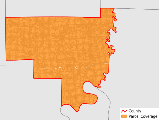
Crawford County
Parcel Data
Price: $200.00
Last Updated:
2025-Q3
Parcels in County:
13,197
Parcel data available to download as a GDB, GeoPackage, Shapefile, Excel, CSV, or Google Earth KML file.
All purchased data comes with six months of access, including any updates, at no additional cost.
Key attribute coverage for Crawford County
The percentage of Crawford County parcels containing the following key attributes:
Owner: 82%
Parcel Number: 99.5%
Acreage (Calculated): 100%
Site Address: 82%
Mailing Address: 81.8%
All available attributes in Crawford County
Parcel Number
Site Address
Owner
Transfer Date
Neighborhood Code
Land Use Code
Land Use Class
Acreage (deeded)
Acreage (calculated)
Perimeter
Municipality
School District
Zip Code
Flood Zone
Flood Zone Subtype
Census Tract
Census Block Group
Census Block
Land Market Value
Building Market Value
Routing Num
Mail Address1
Mail Address3
Legal Desc1
Water
Sewer
Buildings
Addr Sec Unit Num
Place Gnis Code
Land Cover
Elevation
Owner Occupied
Robust Id
Usps Residential
Alt Id 1
Plss Description
Plss Township
Plss Range
Plss Section
Crop Cover
Acreage Adjacent With Sameowner
Flood Zones
Nearest Transmission Line Dist Ft
Nearest Substation Dist Ft
Derived Geom Properties
Robust Id Source
Municipalities Respresented in Crawford County
Boone Township: 470
Jennings Township: 1,838
Johnson Township: 649
Liberty Township: 1,424
Ohio Township: 929
Patoka Township: 3,066
Sterling Township: 2,044
Union Township: 1,128
Whiskey Run Township: 1,648
Save money when you buy data in bulk
We offer discounted pricing on county and state downloads.