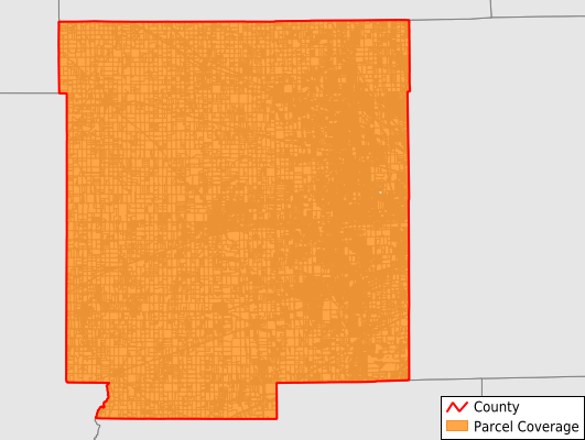
Hendricks County
Parcel Data
Price: $200.00
Last Updated:
2025-Q3
Parcels in County:
82,333
Parcel data available to download as a GDB, GeoPackage, Shapefile, Excel, CSV, or Google Earth KML file.
All purchased data comes with six months of access, including any updates, at no additional cost.
Key attribute coverage for Hendricks County
The percentage of Hendricks County parcels containing the following key attributes:
Owner: 87.1%
Parcel Number: 95.2%
Acreage (Calculated): 100%
Site Address: 87.1%
Mailing Address: 87.1%
All available attributes in Hendricks County
Parcel Number
Site Address
Owner
Transfer Date
Sale Price
Neighborhood Code
Land Use Code
Land Use Class
Acreage (deeded)
Acreage (calculated)
Perimeter
Municipality
School District
Zip Code
Flood Zone
Flood Zone Subtype
Census Tract
Census Block Group
Census Block
Land Market Value
Building Market Value
Mail Address1
Mail Address3
Legal Desc1
Buildings
Addr Sec Unit Num
Place Gnis Code
Land Cover
Elevation
Owner Occupied
Robust Id
Usps Residential
Alt Id 1
Plss Description
Plss Township
Plss Range
Plss Section
Crop Cover
Acreage Adjacent With Sameowner
Flood Zones
Nearest Transmission Line Dist Ft
Nearest Substation Dist Ft
Derived Geom Properties
Municipalities Respresented in Hendricks County
Brown Township: 6,255
Center Township: 7,126
Clay Township: 2,093
Eel River Township: 1,860
Franklin Township: 1,398
Guilford Township: 13,855
Liberty Township: 4,758
Lincoln Township: 14,920
Marion Township: 1,519
Middle Township: 4,162
Union Township: 1,571
Washington Township: 22,814
Save money when you buy data in bulk
We offer discounted pricing on county and state downloads.