Last Updated:
2026-Q1
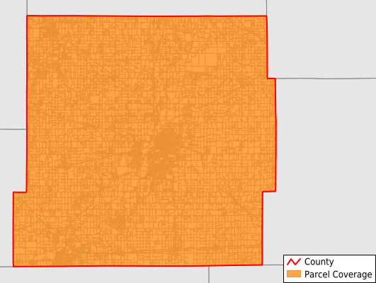
Parcels in County:
28,204
Parcel data available to download as a GDB, GeoPackage, Shapefile, Excel, CSV, or Google Earth KML file.
All purchased data comes with six months of access, including any updates, at no additional cost.
Key attribute coverage for Henry County
The percentage of Henry County parcels containing the following key attributes:
Owner: 99.9%
Parcel Number: 100%
Acreage (Calculated): 100%
Site Address: 99.8%
Mailing Address: 100%
All available attributes in Henry County
Parcel Number
Site Address
Owner
Neighborhood Code
Land Use Code
Land Use Class
Acreage (deeded)
Acreage (calculated)
Perimeter
Municipality
School District
Zip Code
Flood Zone
Flood Zone Subtype
Census Tract
Census Block Group
Census Block
Mail Address1
Mail Address3
Legal Desc1
Buildings
Addr Sec Unit Num
Place Gnis Code
Land Cover
Elevation
Owner Occupied
Robust Id
Usps Residential
Alt Id 1
Plss Description
Plss Township
Plss Range
Plss Section
Crop Cover
Acreage Adjacent With Sameowner
Flood Zones
Nearest Transmission Line Dist Ft
Nearest Substation Dist Ft
Derived Geom Properties
Robust Id Source
Municipalities Respresented in Henry County
Blue River Township: 859
Dudley Township: 970
Fall Creek Township: 2,544
Franklin Township: 1,051
Greensboro Township: 1,221
Harrison Township: 1,222
Henry Township: 11,077
Jefferson Township: 1,110
Liberty Township: 1,067
Prairie Township: 1,957
Spiceland Township: 1,692
Stoney Creek Township: 705
Wayne Township: 2,729
Save money when you buy data in bulk
We offer discounted pricing on county and state downloads.