Last Updated:
2026-Q1
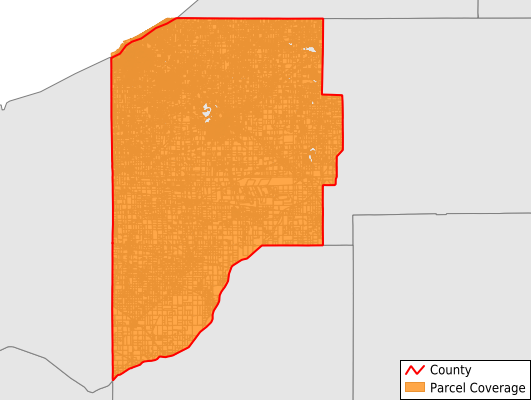
Parcels in County:
64,851
Parcel data available to download as a GDB, GeoPackage, Shapefile, Excel, CSV, or Google Earth KML file.
All purchased data comes with six months of access, including any updates, at no additional cost.
Key attribute coverage for LaPorte County
The percentage of LaPorte County parcels containing the following key attributes:
Owner: 99.7%
Parcel Number: 100%
Acreage (Calculated): 100%
Site Address: 99.7%
Mailing Address: 99.4%
All available attributes in LaPorte County
Parcel Number
Site Address
Owner
Land Use Code
Land Use Class
Acreage (deeded)
Acreage (calculated)
Perimeter
Municipality
School District
Zip Code
Flood Zone
Flood Zone Subtype
Census Tract
Census Block Group
Census Block
Mail Address1
Mail Address3
Legal Desc1
Buildings
Addr Sec Unit Num
Place Gnis Code
Land Cover
Elevation
Owner Occupied
Robust Id
Usps Residential
Alt Id 1
Alt Id 2
Plss Description
Plss Township
Plss Range
Plss Section
Crop Cover
Acreage Adjacent With Sameowner
Flood Zones
Nearest Transmission Line Dist Ft
Nearest Substation Dist Ft
Derived Geom Properties
Robust Id Source
Municipalities Respresented in LaPorte County
Cass Township: 1,575
Center Township: 12,194
Clinton Township: 1,165
Coolspring Township: 7,117
Dewey Township: 993
Galena Township: 1,935
Hanna Township: 841
Hudson Township: 2,327
Johnson Township: 311
Kankakee Township: 2,683
Lincoln Township: 2,040
Michigan Township: 15,670
New Durham Township: 2,886
Noble Township: 1,223
Pleasant Township: 1,935
Prairie Township: 347
Scipio Township: 2,504
Springfield Township: 3,135
Union Township: 1,643
Washington Township: 977
Wills Township: 1,348
Save money when you buy data in bulk
We offer discounted pricing on county and state downloads.