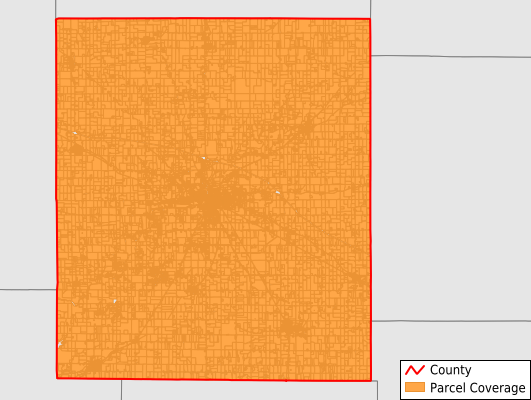
Montgomery County
Parcel Data
Price: $200.00
Last Updated:
2026-Q1
Parcels in County:
23,797
Parcel data available to download as a GDB, GeoPackage, Shapefile, Excel, CSV, or Google Earth KML file.
All purchased data comes with six months of access, including any updates, at no additional cost.
Key attribute coverage for Montgomery County
The percentage of Montgomery County parcels containing the following key attributes:
Owner: 99%
Parcel Number: 100%
Acreage (Calculated): 100%
Site Address: 82.5%
Mailing Address: 94.4%
All available attributes in Montgomery County
Parcel Number
Site Address
Owner
Land Use Code
Land Use Class
Acreage (deeded)
Acreage (calculated)
Perimeter
Municipality
School District
Zip Code
Flood Zone
Flood Zone Subtype
Census Tract
Census Block Group
Census Block
Mail Address1
Mail Address2
Mail Address3
Legal Desc1
Buildings
Addr Sec Unit Num
Place Gnis Code
Land Cover
Elevation
Owner Occupied
Robust Id
Usps Residential
Alt Id 1
Alt Id 2
Plss Description
Plss Township
Plss Range
Plss Section
Crop Cover
Acreage Adjacent With Sameowner
Flood Zones
Nearest Transmission Line Dist Ft
Nearest Substation Dist Ft
Derived Geom Properties
Robust Id Source
Municipalities Respresented in Montgomery County
Brown Township: 1,484
Clark Township: 1,285
Coal Creek Township: 1,319
Franklin Township: 1,290
Madison Township: 910
Ripley Township: 916
Scott Township: 735
Sugar Creek Township: 517
Union Township: 13,101
Walnut Township: 1,110
Wayne Township: 1,129
Save money when you buy data in bulk
We offer discounted pricing on county and state downloads.