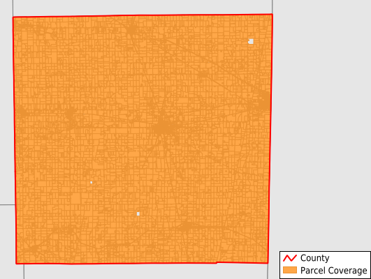
Randolph County
Parcel Data
Price: $200.00
Last Updated:
2025-Q3
Parcels in County:
18,519
Parcel data available to download as a GDB, GeoPackage, Shapefile, Excel, CSV, or Google Earth KML file.
All purchased data comes with six months of access, including any updates, at no additional cost.
Key attribute coverage for Randolph County
The percentage of Randolph County parcels containing the following key attributes:
Owner: 99.9%
Parcel Number: 99.9%
Acreage (Calculated): 100%
Site Address: 98.9%
Mailing Address: 99.9%
All available attributes in Randolph County
Parcel Number
Site Address
Owner
Neighborhood Code
Acreage (deeded)
Acreage (calculated)
Perimeter
Municipality
School District
Zip Code
Census Tract
Census Block Group
Census Block
Mail Address1
Legal Desc1
Buildings
Addr Sec Unit Num
Place Gnis Code
Land Cover
Elevation
Owner Occupied
Robust Id
Usps Residential
Alt Id 1
Plss Description
Plss Township
Plss Range
Plss Section
Crop Cover
Acreage Adjacent With Sameowner
Flood Zones
Nearest Transmission Line Dist Ft
Nearest Substation Dist Ft
Derived Geom Properties
Municipalities Respresented in Randolph County
Franklin Township: 992
Green Township: 746
Greensfork Township: 1,067
Jackson Township: 646
Monroe Township: 2,186
Stoney Creek Township: 858
Union Township: 2,008
Ward Township: 1,052
Washington Township: 1,560
Wayne Township: 2,786
White River Township: 4,615
Save money when you buy data in bulk
We offer discounted pricing on county and state downloads.