Last Updated:
2026-Q1
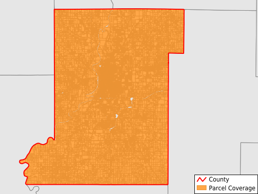
Parcels in County:
59,352
Parcel data available to download as a GDB, GeoPackage, Shapefile, Excel, CSV, or Google Earth KML file.
All purchased data comes with six months of access, including any updates, at no additional cost.
Key attribute coverage for Vigo County
The percentage of Vigo County parcels containing the following key attributes:
Owner: 98.9%
Parcel Number: 100%
Acreage (Calculated): 100%
Site Address: 98.7%
Mailing Address: 100%
All available attributes in Vigo County
Parcel Number
Site Address
Owner
Neighborhood Code
Land Use Code
Land Use Class
Acreage (deeded)
Acreage (calculated)
Perimeter
Municipality
Zip Code
Flood Zone
Flood Zone Subtype
Census Tract
Census Block Group
Census Block
Mail Address1
Mail Address3
Legal Desc1
Legal Desc2
Legal Desc3
Buildings
Addr Sec Unit Num
Place Gnis Code
Land Cover
Elevation
Owner Occupied
Robust Id
Usps Residential
Plss Description
Plss Township
Plss Range
Plss Section
Crop Cover
Acreage Adjacent With Sameowner
Flood Zones
Nearest Transmission Line Dist Ft
Nearest Substation Dist Ft
Derived Geom Properties
Robust Id Source
Municipalities Respresented in Vigo County
Fayette Township: 2,410
Harrison Township: 25,947
Honey Creek Township: 6,136
Linton Township: 1,524
Lost Creek Township: 5,253
Nevins Township: 1,937
Otter Creek Township: 4,915
Pierson Township: 1,606
Prairie Creek Township: 1,453
Prairieton Township: 1,042
Riley Township: 2,438
Sugar Creek Township: 4,691
Save money when you buy data in bulk
We offer discounted pricing on county and state downloads.