Last Updated:
2025-Q3
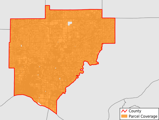
Parcels in County:
40,465
Parcel data available to download as a GDB, GeoPackage, Shapefile, Excel, CSV, or Google Earth KML file.
All purchased data comes with six months of access, including any updates, at no additional cost.
Key attribute coverage for Warrick County
The percentage of Warrick County parcels containing the following key attributes:
Owner: 99%
Parcel Number: 100%
Acreage (Calculated): 100%
Site Address: 99%
Mailing Address: 99%
All available attributes in Warrick County
Parcel Number
Site Address
Owner
Transfer Date
Neighborhood Code
Land Use Code
Land Use Class
Zoning
Acreage (deeded)
Acreage (calculated)
Perimeter
Municipality
Zip Code
Flood Zone
Flood Zone Subtype
Census Tract
Census Block Group
Census Block
Land Market Value
Building Market Value
Routing Num
Mail Address1
Mail Address3
Legal Desc1
Water
Sewer
Buildings
Addr Sec Unit Num
Place Gnis Code
Land Cover
Elevation
Owner Occupied
Robust Id
Usps Residential
Alt Id 1
Plss Description
Plss Township
Plss Range
Plss Section
Crop Cover
Acreage Adjacent With Sameowner
Flood Zones
Nearest Transmission Line Dist Ft
Nearest Substation Dist Ft
Derived Geom Properties
Municipalities Respresented in Warrick County
Anderson Township: 1,108
Boon Township: 9,414
Campbell Township: 1,753
Greer Township: 1,759
Hart Township: 1,667
Lane Township: 577
Ohio Township: 19,945
Owen Township: 754
Pigeon Township: 1,652
Skelton Township: 1,836
Save money when you buy data in bulk
We offer discounted pricing on county and state downloads.