Last Updated:
2026-Q2
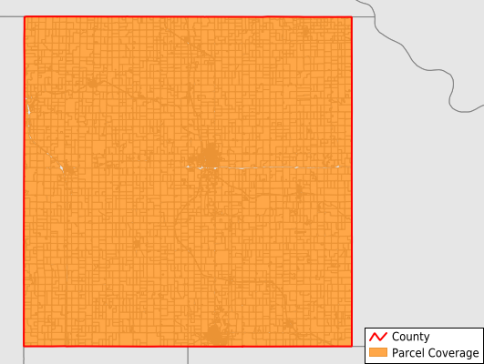
Parcels in County:
8,752
Parcel data available to download as a GDB, GeoPackage, Shapefile, Excel, CSV, or Google Earth KML file.
All purchased data comes with six months of access, including any updates, at no additional cost.
Key attribute coverage for Brown County
The percentage of Brown County parcels containing the following key attributes:
Owner: 99%
Parcel Number: 100%
Acreage (Calculated): 100%
Site Address: 99%
Mailing Address: 99%
All available attributes in Brown County
Parcel Number
Site Address
Owner
Neighborhood Code
Land Use Code
Land Use Class
Acreage (calculated)
Perimeter
Municipality
School District
Zip Code
Flood Zone
Flood Zone Subtype
Census Tract
Census Block Group
Census Block
Mail Address1
Legal Desc1
Addr Sec Unit Num
Place Gnis Code
Land Cover
Elevation
Owner Occupied
Robust Id
Usps Residential
Alt Id 1
Plss Description
Plss Township
Plss Range
Plss Section
Crop Cover
Acreage Adjacent With Sameowner
Flood Zones
Nearest Transmission Line Dist Ft
Nearest Substation Dist Ft
Derived Geom Properties
Robust Id Source
Municipalities Respresented in Brown County
Morrill Township: 513
Walnut Township: 718
Hamlin Township: 443
Hiawatha Township: 631
Padonia Township: 328
Irving Township: 464
Powhattan Township: 746
Mission Township: 827
Robinson Township: 527
Washington Township: 543
Hiawatha City: 1,734
Horton City: 1,208
Sabetha City: 70
Save money when you buy data in bulk
We offer discounted pricing on county and state downloads.