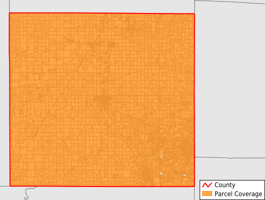
Cherokee County
Parcel Data
Price: $250.00
Last Updated:
2026-Q2
Parcels in County:
16,031
Parcel data available to download as a GDB, GeoPackage, Shapefile, Excel, CSV, or Google Earth KML file.
All purchased data comes with six months of access, including any updates, at no additional cost.
Key attribute coverage for Cherokee County
The percentage of Cherokee County parcels containing the following key attributes:
Owner: 98%
Parcel Number: 100%
Acreage (Calculated): 100%
Site Address: 98%
Mailing Address: 98%
All available attributes in Cherokee County
Parcel Number
Site Address
Owner
Neighborhood Code
Land Use Code
Land Use Class
Acreage (calculated)
Perimeter
Municipality
School District
Zip Code
Flood Zone
Flood Zone Subtype
Census Tract
Census Block Group
Census Block
Mail Address1
Legal Desc1
Addr Sec Unit Num
Place Gnis Code
Land Cover
Elevation
Owner Occupied
Robust Id
Usps Residential
Alt Id 1
Plss Description
Plss Township
Plss Range
Plss Section
Crop Cover
Acreage Adjacent With Sameowner
Flood Zones
Nearest Transmission Line Dist Ft
Nearest Substation Dist Ft
Derived Geom Properties
Robust Id Source
Municipalities Respresented in Cherokee County
Salamanca Township: 455
Lyon Township: 447
Lola Township: 483
Mineral Township: 305
Pleasant View Township: 601
Shawnee Township: 504
Lowell Township: 447
Garden Township: 1,729
Crawford Township: 489
Spring Valley Township: 832
Sheridan Township: 466
Ross Township: 1,092
Neosho Township: 488
Cherokee Township: 376
Baxter Springs City: 2,360
Columbus City: 1,796
Galena City: 2,212
Oswego City: 3
Scammon City: 349
Weir City: 597
Save money when you buy data in bulk
We offer discounted pricing on county and state downloads.