Last Updated:
2026-Q2
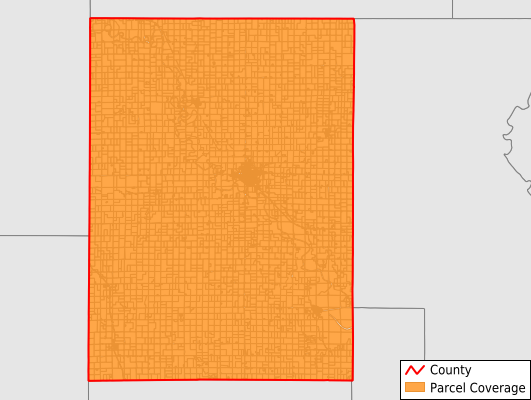
Parcels in County:
7,828
Parcel data available to download as a GDB, GeoPackage, Shapefile, Excel, CSV, or Google Earth KML file.
All purchased data comes with six months of access, including any updates, at no additional cost.
Key attribute coverage for Clay County
The percentage of Clay County parcels containing the following key attributes:
Owner: 99.8%
Parcel Number: 100%
Acreage (Calculated): 100%
Site Address: 99.8%
Mailing Address: 99.8%
All available attributes in Clay County
Parcel Number
Site Address
Owner
Neighborhood Code
Land Use Code
Land Use Class
Acreage (calculated)
Perimeter
Municipality
School District
Zip Code
Census Tract
Census Block Group
Census Block
Mail Address1
Legal Desc1
Addr Sec Unit Num
Place Gnis Code
Land Cover
Elevation
Owner Occupied
Robust Id
Usps Residential
Alt Id 1
Plss Description
Plss Township
Plss Range
Plss Section
Crop Cover
Acreage Adjacent With Sameowner
Flood Zones
Nearest Transmission Line Dist Ft
Nearest Substation Dist Ft
Derived Geom Properties
Robust Id Source
Municipalities Respresented in Clay County
Mulberry Township: 435
Sherman Township: 405
Garfield Township: 200
Goshen Township: 171
Bloom Township: 251
Five Creeks Township: 246
Blaine Township: 316
Hayes Township: 236
Clay Center Township: 417
Oakland Township: 228
Exeter Township: 184
Union Township: 227
Grant Township: 213
Republican Township: 661
Athelstane Township: 230
Chapman Township: 286
Gill Township: 213
Clay Center City: 2,537
Highland Township: 372
Save money when you buy data in bulk
We offer discounted pricing on county and state downloads.