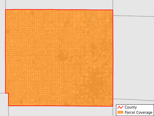
Crawford County
Parcel Data
Price: $200.00
Last Updated:
2026-Q2
Parcels in County:
24,421
Parcel data available to download as a GDB, GeoPackage, Shapefile, Excel, CSV, or Google Earth KML file.
All purchased data comes with six months of access, including any updates, at no additional cost.
Key attribute coverage for Crawford County
The percentage of Crawford County parcels containing the following key attributes:
Owner: 93.4%
Parcel Number: 100%
Acreage (Calculated): 100%
Site Address: 93.4%
Mailing Address: 93.4%
All available attributes in Crawford County
Parcel Number
Site Address
Owner
Neighborhood Code
Land Use Code
Land Use Class
Acreage (calculated)
Perimeter
Municipality
School District
Zip Code
Flood Zone
Flood Zone Subtype
Census Tract
Census Block Group
Census Block
Mail Address1
Legal Desc1
Addr Sec Unit Num
Place Gnis Code
Land Cover
Elevation
Owner Occupied
Robust Id
Usps Residential
Alt Id 1
Plss Description
Plss Township
Plss Range
Plss Section
Crop Cover
Acreage Adjacent With Sameowner
Flood Zones
Nearest Transmission Line Dist Ft
Nearest Substation Dist Ft
Derived Geom Properties
Robust Id Source
Municipalities Respresented in Crawford County
Baker Township: 2,310
Sheridan Township: 1,350
Osage Township: 764
Grant Township: 370
Crawford Township: 821
Washington Township: 2,981
Walnut Township: 845
Sherman Township: 680
Lincoln Township: 1,281
Frontenac City: 1,790
Girard City: 1,596
Mulberry City: 518
Pittsburg City: 9,115
Save money when you buy data in bulk
We offer discounted pricing on county and state downloads.