Last Updated:
2026-Q2
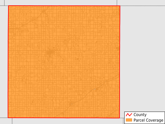
Parcels in County:
4,872
Parcel data available to download as a GDB, GeoPackage, Shapefile, Excel, CSV, or Google Earth KML file.
All purchased data comes with six months of access, including any updates, at no additional cost.
Key attribute coverage for Decatur County
The percentage of Decatur County parcels containing the following key attributes:
Owner: 99.4%
Parcel Number: 100%
Acreage (Calculated): 100%
Site Address: 99.4%
Mailing Address: 99.4%
All available attributes in Decatur County
Parcel Number
Site Address
Owner
Neighborhood Code
Land Use Code
Land Use Class
Acreage (calculated)
Perimeter
Municipality
School District
Zip Code
Census Block Group
Census Block
Mail Address1
Legal Desc1
Place Gnis Code
Land Cover
Elevation
Owner Occupied
Robust Id
Usps Residential
Alt Id 1
Plss Description
Plss Township
Plss Range
Plss Section
Crop Cover
Acreage Adjacent With Sameowner
Nearest Transmission Line Dist Ft
Nearest Substation Dist Ft
Derived Geom Properties
Robust Id Source
Municipalities Respresented in Decatur County
Finley Township: 162
Beaver Township: 154
Liberty Township: 130
Logan Township: 122
Olive Township: 132
Sherman Township: 96
Roosevelt Township: 97
Harlan Township: 102
Grant Township: 120
Lincoln Township: 327
Sappa Township: 108
Center Township: 145
Oberlin Township: 147
Altory Township: 139
Garfield Township: 117
Bassettville Township: 101
Cook Township: 106
Summit Township: 116
Prairie Dog Township: 136
Custer Township: 110
Dresden Township: 278
Lyon Township: 124
Jennings Township: 313
Pleasant Valley Township: 161
Allison Township: 121
Oberlin City: 1,208
Save money when you buy data in bulk
We offer discounted pricing on county and state downloads.