Last Updated:
2026-Q2
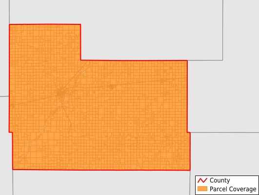
Parcels in County:
4,615
Parcel data available to download as a GDB, GeoPackage, Shapefile, Excel, CSV, or Google Earth KML file.
All purchased data comes with six months of access, including any updates, at no additional cost.
Key attribute coverage for Edwards County
The percentage of Edwards County parcels containing the following key attributes:
Owner: 99.9%
Parcel Number: 100%
Acreage (Calculated): 100%
Site Address: 99.8%
Mailing Address: 99.9%
All available attributes in Edwards County
Parcel Number
Site Address
Owner
Neighborhood Code
Land Use Code
Land Use Class
Acreage (calculated)
Perimeter
Municipality
School District
Zip Code
Flood Zone
Flood Zone Subtype
Census Tract
Census Block Group
Census Block
Mail Address1
Legal Desc1
Addr Sec Unit Num
Place Gnis Code
Land Cover
Elevation
Owner Occupied
Robust Id
Usps Residential
Alt Id 1
Plss Description
Plss Township
Plss Range
Plss Section
Crop Cover
Acreage Adjacent With Sameowner
Flood Zones
Nearest Transmission Line Dist Ft
Nearest Substation Dist Ft
Derived Geom Properties
Robust Id Source
Municipalities Respresented in Edwards County
Jackson Township: 263
Trenton Township: 378
Kinsley Township: 293
Wayne Township: 530
Belpre Township: 447
Franklin Township: 356
Lincoln Township: 413
South Brown Township: 406
North Brown Township: 247
Logan Township: 131
Kinsley City: 1,151
Save money when you buy data in bulk
We offer discounted pricing on county and state downloads.