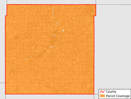
Franklin County
Parcel Data
Price: $200.00
Last Updated:
2025-Q4
Parcels in County:
15,201
Parcel data available to download as a GDB, GeoPackage, Shapefile, Excel, CSV, or Google Earth KML file.
All purchased data comes with six months of access, including any updates, at no additional cost.
Key attribute coverage for Franklin County
The percentage of Franklin County parcels containing the following key attributes:
Owner: 98.5%
Parcel Number: 100%
Acreage (Calculated): 100%
Site Address: 98.5%
Mailing Address: 98.5%
All available attributes in Franklin County
Parcel Number
Site Address
Owner
Neighborhood Code
Land Use Code
Land Use Class
Acreage (calculated)
Perimeter
Municipality
School District
Zip Code
Flood Zone
Flood Zone Subtype
Census Tract
Census Block Group
Census Block
Mail Address1
Legal Desc1
Place Gnis Code
Land Cover
Elevation
Owner Occupied
Robust Id
Usps Residential
Alt Id 1
Plss Description
Plss Township
Plss Range
Plss Section
Crop Cover
Acreage Adjacent With Sameowner
Flood Zones
Nearest Transmission Line Dist Ft
Nearest Substation Dist Ft
Derived Geom Properties
Municipalities Respresented in Franklin County
Richmond Township: 623
Pottawatomie Township: 630
Appanoose Township: 262
Pomona Township: 669
Centropolis Township: 676
Hayes Township: 412
Ottawa Township: 709
Peoria Township: 559
Franklin Township: 1,595
Greenwood Township: 431
Williamsburg Township: 586
Lincoln Township: 588
Homewood Township: 445
Harrison Township: 393
Ohio Township: 568
Cutler Township: 678
Ottawa City: 5,375
Save money when you buy data in bulk
We offer discounted pricing on county and state downloads.