Last Updated:
2026-Q2
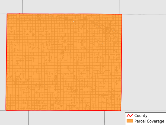
Parcels in County:
4,696
Parcel data available to download as a GDB, GeoPackage, Shapefile, Excel, CSV, or Google Earth KML file.
All purchased data comes with six months of access, including any updates, at no additional cost.
Key attribute coverage for Gove County
The percentage of Gove County parcels containing the following key attributes:
Owner: 99.6%
Parcel Number: 100%
Acreage (Calculated): 100%
Site Address: 99.6%
Mailing Address: 99.6%
All available attributes in Gove County
Parcel Number
Site Address
Owner
Neighborhood Code
Land Use Code
Land Use Class
Acreage (calculated)
Perimeter
Municipality
School District
Zip Code
Census Block Group
Census Block
Mail Address1
Legal Desc1
Addr Sec Unit Num
Place Gnis Code
Land Cover
Elevation
Owner Occupied
Robust Id
Usps Residential
Alt Id 1
Plss Description
Plss Township
Plss Range
Plss Section
Crop Cover
Acreage Adjacent With Sameowner
Nearest Transmission Line Dist Ft
Nearest Substation Dist Ft
Derived Geom Properties
Robust Id Source
Municipalities Respresented in Gove County
Grinnell Township: 684
Grainfield Township: 549
Payne Township: 579
Baker Township: 1,098
Gaeland Township: 179
Gove Township: 446
Lewis Township: 395
Jerome Township: 408
Larrabee Township: 358
Save money when you buy data in bulk
We offer discounted pricing on county and state downloads.