Last Updated:
2026-Q2
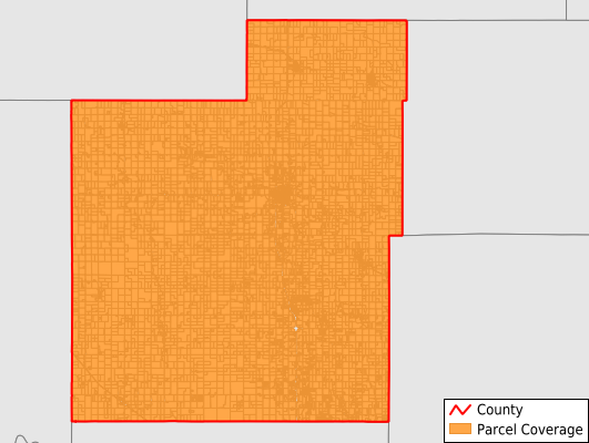
Parcels in County:
9,805
Parcel data available to download as a GDB, GeoPackage, Shapefile, Excel, CSV, or Google Earth KML file.
All purchased data comes with six months of access, including any updates, at no additional cost.
Key attribute coverage for Jackson County
The percentage of Jackson County parcels containing the following key attributes:
Owner: 96.7%
Parcel Number: 100%
Acreage (Calculated): 100%
Site Address: 96.7%
Mailing Address: 96.7%
All available attributes in Jackson County
Parcel Number
Site Address
Owner
Neighborhood Code
Land Use Code
Land Use Class
Acreage (calculated)
Perimeter
Municipality
School District
Zip Code
Flood Zone
Flood Zone Subtype
Census Tract
Census Block Group
Census Block
Mail Address1
Legal Desc1
Addr Sec Unit Num
Place Gnis Code
Land Cover
Elevation
Owner Occupied
Robust Id
Usps Residential
Alt Id 1
Plss Description
Plss Township
Plss Range
Plss Section
Crop Cover
Acreage Adjacent With Sameowner
Flood Zones
Nearest Transmission Line Dist Ft
Nearest Substation Dist Ft
Derived Geom Properties
Robust Id Source
Municipalities Respresented in Jackson County
Soldier Township: 434
Netawaka Township: 420
Whiting Township: 420
Jefferson Township: 444
Liberty Township: 422
Straight Creek Township: 270
Adrian Township: 199
Washington Township: 493
Lincoln Township: 885
Banner Township: 370
Franklin Township: 658
Cedar Township: 889
Garfield Township: 502
Douglas Township: 1,457
Holton City: 1,631
Grant Township: 311
Save money when you buy data in bulk
We offer discounted pricing on county and state downloads.