Last Updated:
2026-Q2
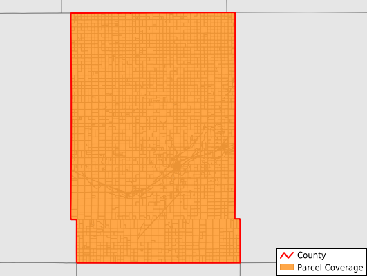
Parcels in County:
4,274
Parcel data available to download as a GDB, GeoPackage, Shapefile, Excel, CSV, or Google Earth KML file.
All purchased data comes with six months of access, including any updates, at no additional cost.
Key attribute coverage for Kearny County
The percentage of Kearny County parcels containing the following key attributes:
Owner: 99.8%
Parcel Number: 100%
Acreage (Calculated): 100%
Site Address: 98.9%
Mailing Address: 99.8%
All available attributes in Kearny County
Parcel Number
Site Address
Owner
Neighborhood Code
Land Use Code
Land Use Class
Acreage (calculated)
Perimeter
Municipality
School District
Zip Code
Census Block Group
Census Block
Mail Address1
Legal Desc1
Addr Sec Unit Num
Place Gnis Code
Land Cover
Elevation
Owner Occupied
Robust Id
Usps Residential
Alt Id 1
Plss Description
Plss Township
Plss Range
Plss Section
Crop Cover
Acreage Adjacent With Sameowner
Nearest Transmission Line Dist Ft
Nearest Substation Dist Ft
Derived Geom Properties
Robust Id Source
Municipalities Respresented in Kearny County
Kendall Township: 452
Southside Township: 426
Deerfield Township: 504
West Hibbard Township: 555
East Hibbard Township: 573
Hartland Township: 478
Lakin Township: 1,286
Save money when you buy data in bulk
We offer discounted pricing on county and state downloads.