Last Updated:
2026-Q2
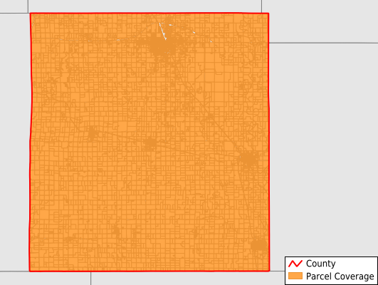
Parcels in County:
15,465
Parcel data available to download as a GDB, GeoPackage, Shapefile, Excel, CSV, or Google Earth KML file.
All purchased data comes with six months of access, including any updates, at no additional cost.
Key attribute coverage for Labette County
The percentage of Labette County parcels containing the following key attributes:
Owner: 96.8%
Parcel Number: 100%
Acreage (Calculated): 100%
Site Address: 96.8%
Mailing Address: 96.8%
All available attributes in Labette County
Parcel Number
Site Address
Owner
Neighborhood Code
Land Use Code
Land Use Class
Acreage (calculated)
Perimeter
Municipality
School District
Zip Code
Flood Zone
Flood Zone Subtype
Census Tract
Census Block Group
Census Block
Mail Address1
Legal Desc1
Addr Sec Unit Num
Place Gnis Code
Land Cover
Elevation
Owner Occupied
Robust Id
Usps Residential
Alt Id 1
Plss Description
Plss Township
Plss Range
Plss Section
Crop Cover
Acreage Adjacent With Sameowner
Flood Zones
Nearest Transmission Line Dist Ft
Nearest Substation Dist Ft
Derived Geom Properties
Robust Id Source
Municipalities Respresented in Labette County
Mount Pleasant Township: 919
Elm Grove Township: 688
Canada Township: 255
Howard Township: 330
Oswego Township: 311
Richland Township: 399
Fairview Township: 300
Hackberry Township: 438
Mound Valley Township: 799
Labette Township: 354
Liberty Township: 416
Montana Township: 257
Neosho Township: 269
North Township: 497
Walton Township: 595
Osage Township: 759
Chetopa City: 976
Oswego City: 1,160
Parsons City: 5,743
Save money when you buy data in bulk
We offer discounted pricing on county and state downloads.