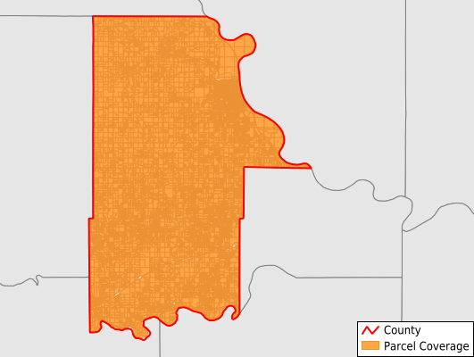
Leavenworth County
Parcel Data
Price: $200.00
Last Updated:
2026-Q2
Parcels in County:
33,454
Parcel data available to download as a GDB, GeoPackage, Shapefile, Excel, CSV, or Google Earth KML file.
All purchased data comes with six months of access, including any updates, at no additional cost.
Key attribute coverage for Leavenworth County
The percentage of Leavenworth County parcels containing the following key attributes:
Owner: 99.5%
Parcel Number: 100%
Acreage (Calculated): 100%
Site Address: 99.5%
Mailing Address: 99.5%
All available attributes in Leavenworth County
Parcel Number
Site Address
Owner
Land Use Code
Land Use Class
Acreage (deeded)
Acreage (calculated)
Perimeter
Municipality
School District
Zip Code
Flood Zone
Flood Zone Subtype
Census Tract
Census Block Group
Census Block
Total Market Value
Mail Address1
Legal Desc1
Buildings
Addr Sec Unit Num
Place Gnis Code
Land Cover
Elevation
Owner Occupied
Robust Id
Usps Residential
Alt Id 1
Alt Id 2
Plss Description
Plss Township
Plss Range
Plss Section
Crop Cover
Acreage Adjacent With Sameowner
Flood Zones
Nearest Transmission Line Dist Ft
Nearest Substation Dist Ft
Derived Geom Properties
Robust Id Source
Municipalities Respresented in Leavenworth County
Easton Township: 815
High Prairie Township: 1,250
Delaware Township: 601
Tonganoxie Township: 2,802
Fairmount Township: 5,776
Stranger Township: 2,781
Reno Township: 1,051
Sherman Township: 1,682
Kickapoo Township: 1,128
Alexandria Township: 712
Bonner Springs City: 1
Lansing City: 3,389
Leavenworth City: 11,466
Save money when you buy data in bulk
We offer discounted pricing on county and state downloads.