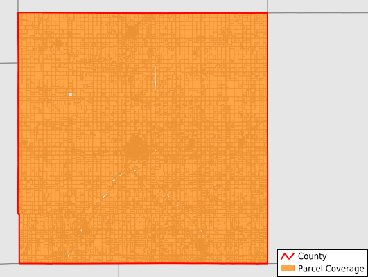
McPherson County
Parcel Data
Price: $200.00
Last Updated:
2025-Q2
Parcels in County:
18,456
Parcel data available to download as a GDB, GeoPackage, Shapefile, Excel, CSV, or Google Earth KML file.
All purchased data comes with six months of access, including any updates, at no additional cost.
Key attribute coverage for McPherson County
The percentage of McPherson County parcels containing the following key attributes:
Owner: 99.8%
Parcel Number: 99.8%
Acreage (Calculated): 100%
Site Address: 99.8%
Mailing Address: 99.8%
All available attributes in McPherson County
Parcel Number
Site Address
Owner
Land Use Code
Land Use Class
Acreage (calculated)
Perimeter
Municipality
School District
Zip Code
Flood Zone
Flood Zone Subtype
Census Tract
Census Block Group
Census Block
Mail Address1
Mail Address3
Legal Desc1
Legal Desc2
Year Built
Style
Fullbath
Halfbath
Addr Sec Unit Num
Place Gnis Code
Land Cover
Elevation
Owner Occupied
Robust Id
Usps Residential
Alt Id 1
Alt Id 2
Plss Description
Plss Township
Plss Range
Plss Section
Crop Cover
Acreage Adjacent With Sameowner
Flood Zones
Nearest Transmission Line Dist Ft
Nearest Substation Dist Ft
Derived Geom Properties
Robust Id Source
Municipalities Respresented in McPherson County
Castle Township: 326
Jackson Township: 314
Marquette Township: 697
South Sharps Creek Township: 199
Union Township: 258
Harper Township: 222
Smoky Hill Township: 482
New Gottland Township: 379
Bonaville Township: 156
Delmore Township: 221
Gypsum Creek Township: 288
Battle Hill Township: 197
Mcpherson Township: 507
Empire Township: 864
Canton Township: 765
Hayes Township: 307
Little Valley Township: 423
Superior Township: 1,009
Groveland Township: 289
King City Township: 445
Turkey Creek Township: 375
Mound Township: 1,358
Lone Tree Township: 416
Spring Valley Township: 380
Meridian Township: 399
Lindsborg City: 1,472
Mcpherson City: 5,708
Save money when you buy data in bulk
We offer discounted pricing on county and state downloads.