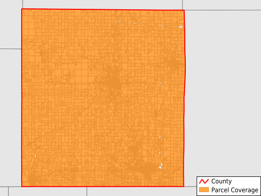
Montgomery County
Parcel Data
Price: $250.00
Last Updated:
2026-Q2
Parcels in County:
23,094
Parcel data available to download as a GDB, GeoPackage, Shapefile, Excel, CSV, or Google Earth KML file.
All purchased data comes with six months of access, including any updates, at no additional cost.
Key attribute coverage for Montgomery County
The percentage of Montgomery County parcels containing the following key attributes:
Owner: 94.4%
Parcel Number: 100%
Acreage (Calculated): 100%
Site Address: 94.4%
Mailing Address: 94.4%
All available attributes in Montgomery County
Parcel Number
Site Address
Owner
Neighborhood Code
Land Use Code
Land Use Class
Acreage (calculated)
Perimeter
Municipality
School District
Zip Code
Flood Zone
Flood Zone Subtype
Census Tract
Census Block Group
Census Block
Mail Address1
Legal Desc1
Addr Sec Unit Num
Place Gnis Code
Land Cover
Elevation
Owner Occupied
Robust Id
Usps Residential
Alt Id 1
Plss Description
Plss Township
Plss Range
Plss Section
Crop Cover
Acreage Adjacent With Sameowner
Flood Zones
Nearest Transmission Line Dist Ft
Nearest Substation Dist Ft
Derived Geom Properties
Robust Id Source
Municipalities Respresented in Montgomery County
Cherokee Township: 489
Parker Township: 732
Liberty Township: 524
Fawn Creek Township: 1,449
Independence Township: 1,497
Caney Township: 1,268
Rutland Township: 563
Drum Creek Township: 449
Cherry Township: 457
West Cherry Township: 303
Sycamore Township: 799
Louisburg Township: 834
Caney City: 1,229
Cherryvale City: 1,440
Coffeyville City: 5,979
Independence City: 5,082
Save money when you buy data in bulk
We offer discounted pricing on county and state downloads.