Last Updated:
2026-Q2
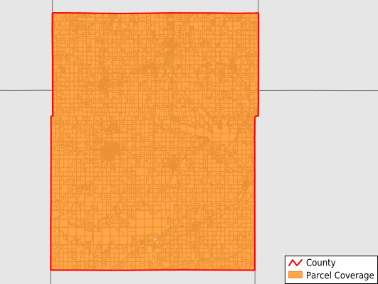
Parcels in County:
12,658
Parcel data available to download as a GDB, GeoPackage, Shapefile, Excel, CSV, or Google Earth KML file.
All purchased data comes with six months of access, including any updates, at no additional cost.
Key attribute coverage for Osage County
The percentage of Osage County parcels containing the following key attributes:
Owner: 98.3%
Parcel Number: 100%
Acreage (Calculated): 100%
Site Address: 98.2%
Mailing Address: 98.3%
All available attributes in Osage County
Parcel Number
Site Address
Owner
Neighborhood Code
Land Use Code
Land Use Class
Acreage (calculated)
Perimeter
Municipality
School District
Zip Code
Flood Zone
Flood Zone Subtype
Census Tract
Census Block Group
Census Block
Mail Address1
Legal Desc1
Addr Sec Unit Num
Place Gnis Code
Land Cover
Elevation
Owner Occupied
Robust Id
Usps Residential
Alt Id 1
Plss Description
Plss Township
Plss Range
Plss Section
Crop Cover
Acreage Adjacent With Sameowner
Flood Zones
Nearest Transmission Line Dist Ft
Nearest Substation Dist Ft
Derived Geom Properties
Robust Id Source
Municipalities Respresented in Osage County
Grant Township: 365
Dragoon Township: 317
Superior Township: 400
Valley Brook Township: 1,046
Junction Township: 1,360
Burlingame Township: 1,335
Scranton Township: 799
Ridgeway Township: 1,411
Fairfax Township: 591
Elk Township: 1,150
Barclay Township: 303
Arvonia Township: 257
Olivet Township: 417
Agency Township: 564
Melvern Township: 677
Lincoln Township: 208
Osage City City: 1,458
Save money when you buy data in bulk
We offer discounted pricing on county and state downloads.