Last Updated:
2026-Q2
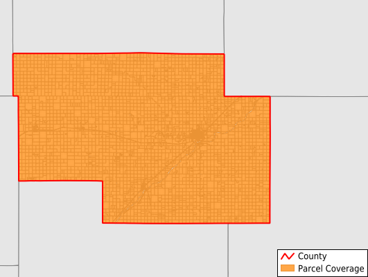
Parcels in County:
6,390
Parcel data available to download as a GDB, GeoPackage, Shapefile, Excel, CSV, or Google Earth KML file.
All purchased data comes with six months of access, including any updates, at no additional cost.
Key attribute coverage for Pawnee County
The percentage of Pawnee County parcels containing the following key attributes:
Owner: 100%
Parcel Number: 100%
Acreage (Calculated): 100%
Site Address: 97.5%
Mailing Address: 100%
All available attributes in Pawnee County
Parcel Number
Site Address
Owner
Neighborhood Code
Land Use Code
Land Use Class
Acreage (calculated)
Perimeter
Municipality
School District
Zip Code
Census Tract
Census Block Group
Census Block
Mail Address1
Legal Desc1
Addr Sec Unit Num
Place Gnis Code
Land Cover
Elevation
Owner Occupied
Robust Id
Usps Residential
Alt Id 1
Plss Description
Plss Township
Plss Range
Plss Section
Crop Cover
Acreage Adjacent With Sameowner
Nearest Transmission Line Dist Ft
Nearest Substation Dist Ft
Derived Geom Properties
Robust Id Source
Municipalities Respresented in Pawnee County
Orange Township: 184
Pleasant Valley Township: 212
Browns Grove Township: 366
Shiley Township: 132
Lincoln Township: 112
Grant Township: 270
Ash Valley Township: 215
Morton Township: 148
Conkling Township: 151
Walnut Township: 184
Pawnee Township: 203
River Township: 178
Larned Township: 346
Sawmill Township: 133
Keysville Township: 128
Pleasant Ridge Township: 164
Santa Fe Township: 183
Pleasant Grove Township: 241
Logan Township: 162
Garfield Township: 329
Valley Center Township: 155
Larned City: 2,194
Save money when you buy data in bulk
We offer discounted pricing on county and state downloads.