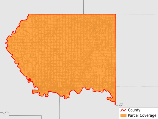
Pottawatomie County
Parcel Data
Price: $200.00
Last Updated:
2026-Q2
Parcels in County:
17,433
Parcel data available to download as a GDB, GeoPackage, Shapefile, Excel, CSV, or Google Earth KML file.
All purchased data comes with six months of access, including any updates, at no additional cost.
Key attribute coverage for Pottawatomie County
The percentage of Pottawatomie County parcels containing the following key attributes:
Owner: 97.7%
Parcel Number: 100%
Acreage (Calculated): 100%
Site Address: 97.7%
Mailing Address: 97.7%
All available attributes in Pottawatomie County
Parcel Number
Site Address
Owner
Neighborhood Code
Land Use Code
Land Use Class
Acreage (calculated)
Perimeter
Municipality
School District
Zip Code
Flood Zone
Flood Zone Subtype
Census Tract
Census Block Group
Census Block
Mail Address1
Legal Desc1
Addr Sec Unit Num
Place Gnis Code
Land Cover
Elevation
Owner Occupied
Robust Id
Usps Residential
Alt Id 1
Plss Description
Plss Township
Plss Range
Plss Section
Crop Cover
Acreage Adjacent With Sameowner
Flood Zones
Nearest Transmission Line Dist Ft
Nearest Substation Dist Ft
Derived Geom Properties
Robust Id Source
Municipalities Respresented in Pottawatomie County
Blue Valley Township: 549
Spring Creek Township: 242
Clear Creek Township: 304
Lone Tree Township: 320
Mill Creek Township: 914
Grant Township: 387
Green Township: 640
Shannon Township: 360
Pottawatomie Township: 692
Rock Creek Township: 586
Union Township: 287
Sherman Township: 207
Center Township: 226
Lincoln Township: 218
Vienna Township: 225
St. Clere Township: 127
Blue Township: 2,888
Louisville Township: 854
St. George Township: 2,154
Belvue Township: 492
Emmett Township: 366
Wamego Township: 2,587
Manhattan City: 188
St. Marys Township: 1,619
Save money when you buy data in bulk
We offer discounted pricing on county and state downloads.