Last Updated:
2026-Q2
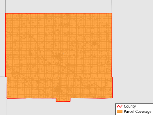
Parcels in County:
9,377
Parcel data available to download as a GDB, GeoPackage, Shapefile, Excel, CSV, or Google Earth KML file.
All purchased data comes with six months of access, including any updates, at no additional cost.
Key attribute coverage for Rice County
The percentage of Rice County parcels containing the following key attributes:
Owner: 99.4%
Parcel Number: 100%
Acreage (Calculated): 100%
Site Address: 99.2%
Mailing Address: 99.4%
All available attributes in Rice County
Parcel Number
Site Address
Owner
Neighborhood Code
Land Use Code
Land Use Class
Acreage (calculated)
Perimeter
Municipality
School District
Zip Code
Flood Zone
Flood Zone Subtype
Census Tract
Census Block Group
Census Block
Mail Address1
Legal Desc1
Place Gnis Code
Land Cover
Elevation
Owner Occupied
Robust Id
Usps Residential
Alt Id 1
Plss Description
Plss Township
Plss Range
Plss Section
Crop Cover
Acreage Adjacent With Sameowner
Flood Zones
Nearest Transmission Line Dist Ft
Nearest Substation Dist Ft
Derived Geom Properties
Robust Id Source
Municipalities Respresented in Rice County
Farmer Township: 436
Eureka Township: 274
Victoria Township: 620
Galt Township: 196
Odessa Township: 179
Pioneer Township: 211
Lincoln Township: 592
Harrison Township: 273
Mitchell Township: 279
Union Township: 606
Raymond Township: 341
Bell Township: 117
Sterling Township: 356
Valley Township: 336
Atlanta Township: 302
Center Township: 237
Wilson Township: 260
West Washington Township: 234
East Washington Township: 212
Rockville Township: 199
Lyons City: 1,936
Sterling City: 1,181
Save money when you buy data in bulk
We offer discounted pricing on county and state downloads.