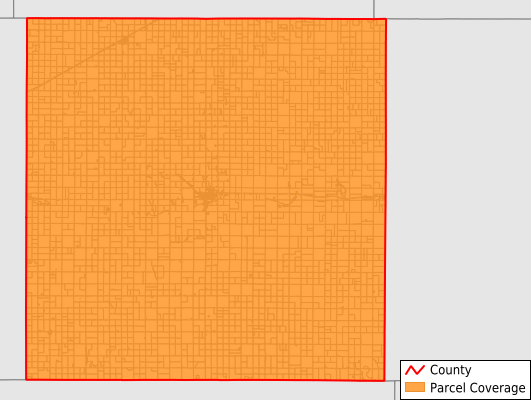
Sheridan County
Parcel Data
Price: $200.00
Last Updated:
2026-Q2
Parcels in County:
4,155
Parcel data available to download as a GDB, GeoPackage, Shapefile, Excel, CSV, or Google Earth KML file.
All purchased data comes with six months of access, including any updates, at no additional cost.
Key attribute coverage for Sheridan County
The percentage of Sheridan County parcels containing the following key attributes:
Owner: 99.9%
Parcel Number: 100%
Acreage (Calculated): 100%
Site Address: 99.9%
Mailing Address: 99.9%
All available attributes in Sheridan County
Parcel Number
Site Address
Owner
Neighborhood Code
Land Use Code
Land Use Class
Acreage (calculated)
Perimeter
Municipality
School District
Zip Code
Census Block Group
Census Block
Mail Address1
Legal Desc1
Place Gnis Code
Land Cover
Elevation
Owner Occupied
Robust Id
Usps Residential
Alt Id 1
Plss Description
Plss Township
Plss Range
Plss Section
Crop Cover
Acreage Adjacent With Sameowner
Nearest Transmission Line Dist Ft
Nearest Substation Dist Ft
Derived Geom Properties
Robust Id Source
Municipalities Respresented in Sheridan County
Prairie Dog Township: 116
Sheridan Township: 451
Union Township: 132
Adell Township: 170
Bloomfield Township: 122
Logan Township: 287
Parnell Township: 253
Kenneth Township: 1,063
Valley Township: 228
Bowcreek Township: 255
Solomon Township: 369
Springbrook Township: 294
West Saline Township: 204
East Saline Township: 211
Save money when you buy data in bulk
We offer discounted pricing on county and state downloads.