Last Updated:
2026-Q2
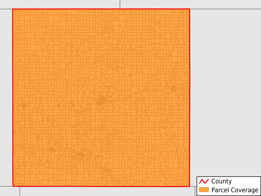
Parcels in County:
6,824
Parcel data available to download as a GDB, GeoPackage, Shapefile, Excel, CSV, or Google Earth KML file.
All purchased data comes with six months of access, including any updates, at no additional cost.
Key attribute coverage for Smith County
The percentage of Smith County parcels containing the following key attributes:
Owner: 99.8%
Parcel Number: 100%
Acreage (Calculated): 100%
Site Address: 99.8%
Mailing Address: 99.8%
All available attributes in Smith County
Parcel Number
Site Address
Owner
Neighborhood Code
Land Use Code
Land Use Class
Acreage (calculated)
Perimeter
Municipality
School District
Zip Code
Census Tract
Census Block Group
Census Block
Mail Address1
Legal Desc1
Place Gnis Code
Land Cover
Elevation
Owner Occupied
Robust Id
Usps Residential
Alt Id 1
Plss Description
Plss Township
Plss Range
Plss Section
Crop Cover
Acreage Adjacent With Sameowner
Nearest Transmission Line Dist Ft
Nearest Substation Dist Ft
Derived Geom Properties
Robust Id Source
Municipalities Respresented in Smith County
German Township: 119
Swan Township: 146
Martin Township: 132
Pleasant Township: 156
Beaver Township: 160
Washington Township: 169
Pawnee Township: 142
Cora Township: 148
Logan Township: 147
White Rock Township: 165
Cedar Township: 614
Lane Township: 279
Center Township: 1,537
Blaine Township: 200
Oak Township: 520
Valley Township: 243
Dor Township: 139
Harvey Township: 314
Houston Township: 370
Banner Township: 212
Harlan Township: 308
Crystal Plains Township: 141
Garfield Township: 153
Webster Township: 141
Lincoln Township: 169
Save money when you buy data in bulk
We offer discounted pricing on county and state downloads.