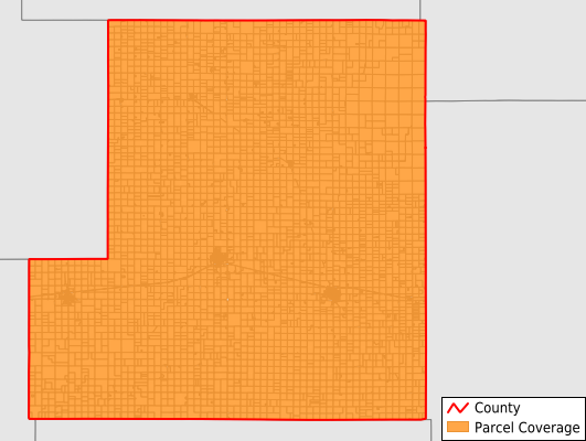
Stafford County
Parcel Data
Price: $200.00
Last Updated:
2026-Q2
Parcels in County:
6,097
Parcel data available to download as a GDB, GeoPackage, Shapefile, Excel, CSV, or Google Earth KML file.
All purchased data comes with six months of access, including any updates, at no additional cost.
Key attribute coverage for Stafford County
The percentage of Stafford County parcels containing the following key attributes:
Owner: 99.7%
Parcel Number: 100%
Acreage (Calculated): 100%
Site Address: 99.7%
Mailing Address: 99.7%
All available attributes in Stafford County
Parcel Number
Site Address
Owner
Neighborhood Code
Land Use Code
Land Use Class
Acreage (calculated)
Perimeter
Municipality
School District
Zip Code
Census Tract
Census Block Group
Census Block
Mail Address1
Legal Desc1
Addr Sec Unit Num
Place Gnis Code
Land Cover
Elevation
Owner Occupied
Robust Id
Usps Residential
Alt Id 1
Plss Description
Plss Township
Plss Range
Plss Section
Crop Cover
Acreage Adjacent With Sameowner
Nearest Transmission Line Dist Ft
Nearest Substation Dist Ft
Derived Geom Properties
Robust Id Source
Municipalities Respresented in Stafford County
Farmington Township: 524
Clear Creek Township: 131
Richland Township: 173
Albano Township: 152
St. John Township: 809
Ohio Township: 442
Rose Valley Township: 167
West Cooper Township: 180
Stafford Township: 1,012
Union Township: 164
York Township: 167
East Cooper Township: 214
Fairview Township: 259
Lincoln Township: 209
Byron Township: 179
Putnam Township: 154
South Seward Township: 179
Hayes Township: 318
Cleveland Township: 159
Douglas Township: 212
North Seward Township: 293
Save money when you buy data in bulk
We offer discounted pricing on county and state downloads.