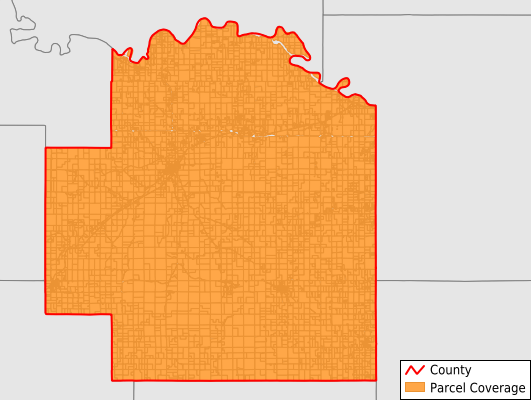
Wabaunsee County
Parcel Data
Price: $250.00
Last Updated:
2026-Q2
Parcels in County:
7,309
Parcel data available to download as a GDB, GeoPackage, Shapefile, Excel, CSV, or Google Earth KML file.
All purchased data comes with six months of access, including any updates, at no additional cost.
Key attribute coverage for Wabaunsee County
The percentage of Wabaunsee County parcels containing the following key attributes:
Owner: 99.7%
Parcel Number: 100%
Acreage (Calculated): 100%
Site Address: 99.7%
Mailing Address: 99.7%
All available attributes in Wabaunsee County
Parcel Number
Site Address
Owner
Neighborhood Code
Land Use Code
Land Use Class
Acreage (calculated)
Perimeter
Municipality
School District
Zip Code
Flood Zone
Flood Zone Subtype
Census Tract
Census Block Group
Census Block
Mail Address1
Legal Desc2
Place Gnis Code
Land Cover
Elevation
Owner Occupied
Robust Id
Usps Residential
Alt Id 1
Plss Description
Plss Township
Plss Range
Plss Section
Crop Cover
Acreage Adjacent With Sameowner
Flood Zones
Nearest Transmission Line Dist Ft
Nearest Substation Dist Ft
Derived Geom Properties
Robust Id Source
Municipalities Respresented in Wabaunsee County
Wabaunsee Township: 630
Kaw Township: 344
Garfield Township: 562
Washington Township: 263
Alma Township: 878
Farmer Township: 223
Mill Creek Township: 621
Newbury Township: 878
Mission Creek Township: 604
Rock Creek Township: 266
Wilmington Township: 644
Plumb Township: 582
Maple Hill Township: 813
Save money when you buy data in bulk
We offer discounted pricing on county and state downloads.