Last Updated:
2026-Q3
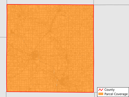
Parcels in County:
9,959
Parcel data available to download as a GDB, GeoPackage, Shapefile, Excel, CSV, or Google Earth KML file.
All purchased data comes with six months of access, including any updates, at no additional cost.
Key attribute coverage for Wilson County
The percentage of Wilson County parcels containing the following key attributes:
Owner: 99.5%
Parcel Number: 100%
Acreage (Calculated): 100%
Site Address: 98.8%
Mailing Address: 99.5%
All available attributes in Wilson County
Parcel Number
Site Address
Owner
Neighborhood Code
Land Use Code
Land Use Class
Acreage (calculated)
Perimeter
Municipality
School District
Zip Code
Flood Zone
Flood Zone Subtype
Census Tract
Census Block Group
Census Block
Mail Address1
Legal Desc1
Addr Sec Unit Num
Place Gnis Code
Land Cover
Elevation
Owner Occupied
Robust Id
Usps Residential
Alt Id 1
Plss Description
Plss Township
Plss Range
Plss Section
Crop Cover
Acreage Adjacent With Sameowner
Flood Zones
Nearest Transmission Line Dist Ft
Nearest Substation Dist Ft
Derived Geom Properties
Robust Id Source
Geom Id
Duplicate Geom Seq
Duplicate Geom Ct
Municipalities Respresented in Wilson County
Center Township: 533
Talleyrand Township: 300
Cedar Township: 762
Neodesha Township: 729
Chetopa Township: 268
Newark Township: 302
Duck Creek Township: 211
Fall River Township: 585
Verdigris Township: 1,047
Prairie Township: 181
Webster Township: 201
Clifton Township: 566
Guilford Township: 360
Colfax Township: 510
Pleasant Valley Township: 324
Fredonia City: 1,547
Neodesha City: 1,533
Save money when you buy data in bulk
We offer discounted pricing on county and state downloads.